Driving · 1 hr 53 min · 116 km · 67 stops
Victoria–Nanaimo: Highway 1
The island highway southbound as one story: from Departure Bay, where a Snuneymuxw chief's canoe-load of coal set everything in motion, down through mill towns that found second lives, the Cowichan Valley and over the Malahat to Mile 0 in Victoria. GPS-triggered narration plays hands-free while you drive.
US$14.99 One-time Free app · this tour unlocks in the app Your store shows your local price before you buy
Direction
Two directions · one purchase
Starts
Departure Bay ferry terminal
680 Stewart Avenue, Nanaimo (Departure Bay Ferry Terminal) · Start as you drive off the Departure Bay ferry, the first track plays from your car as you leave the terminal, following the signs for Highway 1 south.
Time
1 hr 53 min
About 2 hours of driving without stops; comfortably a half day with them.
Narration
74 min audio · 8 languages
English · Français · 中文 · 한국어 · Português · Deutsch · Español · 日本語
Offline
Works offline
Audio, route and stop details download with the tour.
Route · 116 km · 67 stops · Driving
Know the shape of the day.
Read the English sample transcript
Behind you, a ferry the size of a city block is loading cars for Horseshoe Bay, across the strait in West Vancouver. Last year more than a million and a half people made that crossing from this one terminal, Departure Bay, one of Nanaimo's two vehicle links to the mainland, a conveyor belt of windshields and coffee cups running all day, every day. Hold that image, because the first crossing that mattered on this water was a canoe. In 1850, a Snuneymuxw chief the Hudson's Bay men came to call the Coal Tyee, Che-wich-i-kan, loaded coal from this harbour and paddled it down the coast to Victoria. Everything you're about to drive follows from that trip. The mines, the railway, the towns, the money, the capital where the money got spent, all of it downstream of one man with a paddle and something worth showing. So here's what the next couple of hours look like: a working harbour city with a wooden fort still standing in it, mill towns that lost their mills and found something else, farm valleys, a mountain road with saltwater dropping away beside it, and at the end, a stone marking where the road runs out at the edge of the continent. It's a spectacular drive, and it makes a kind of sense you can only get by doing the whole thing in order. Straight on, and let's go.
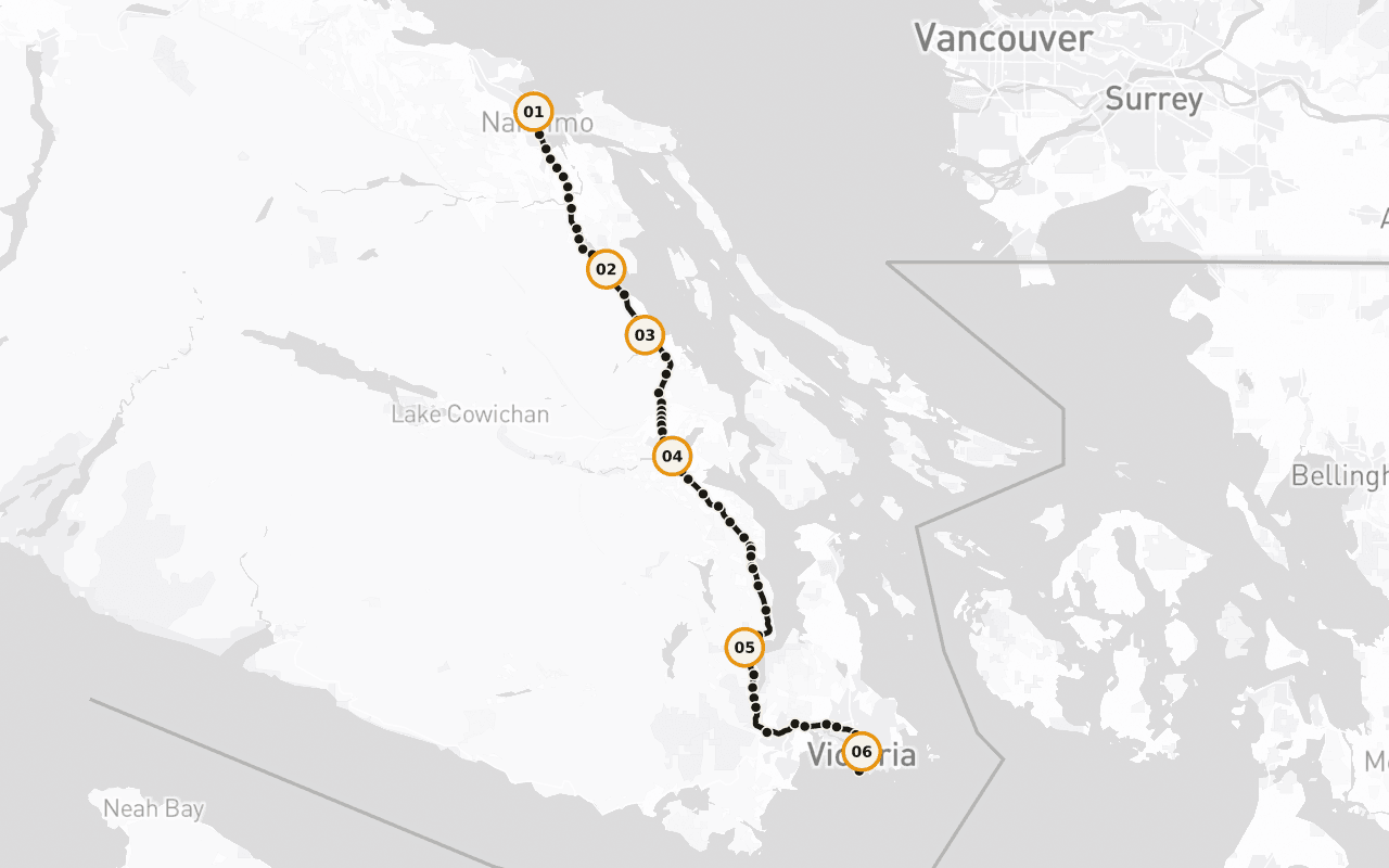
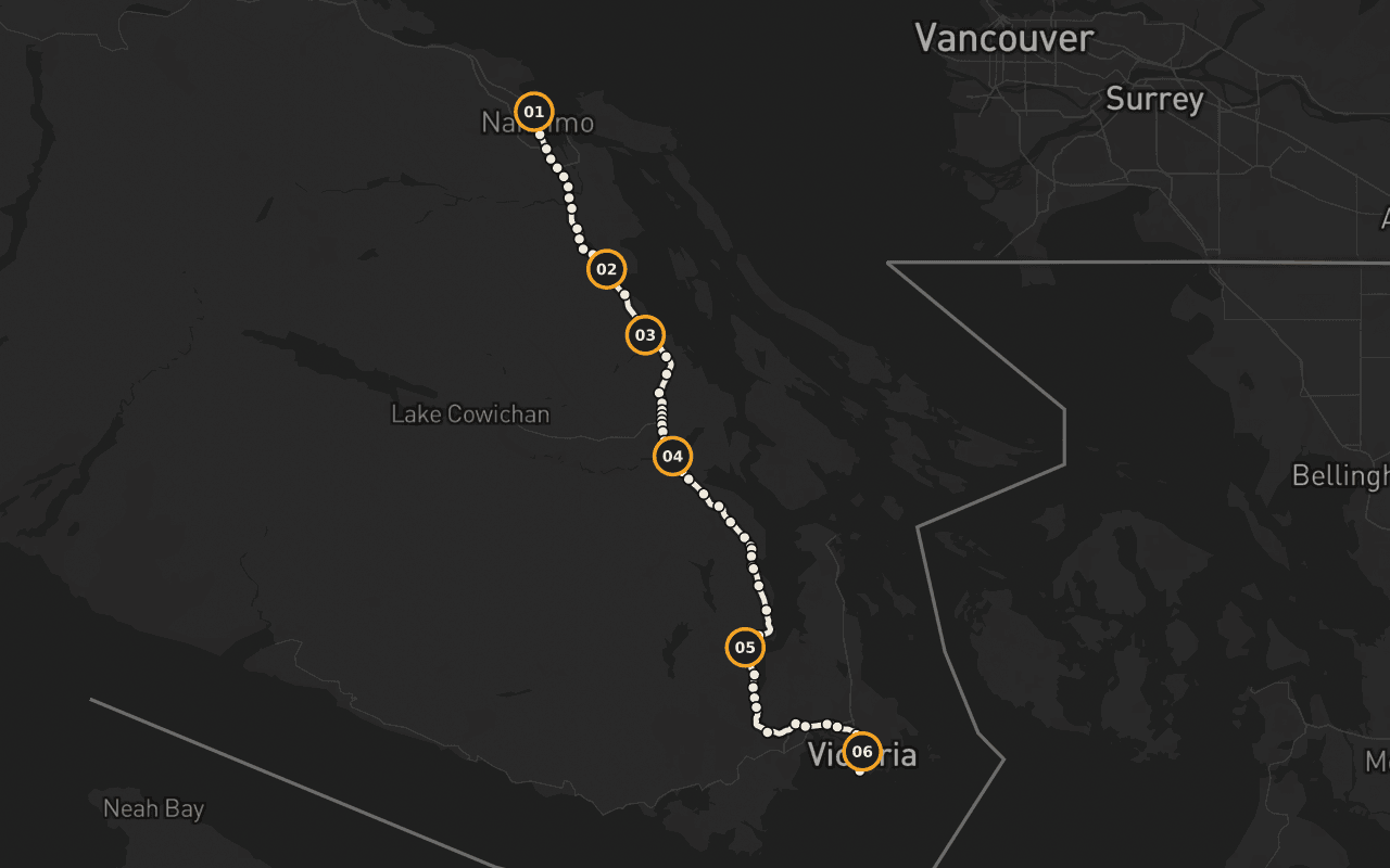
Map preview for planning fit. It is not turn-by-turn navigation; Camena guides story playback along the published route.
6 of 67 stops
Stories with a sense of place.
The Man Who Made a City
The Coal Tyee's journey, taken seriously: a man who knew exactly what he had in the bottom of his canoe, and what the Hudson's Bay Company would do for it.
Dunsmuir's Company Town
Ladysmith, the instant town, James Dunsmuir installed a grid above the harbour to move one commodity, and the town outlived it.
The Little Town That Did
Chemainus: the mill workforce fell from six hundred to a hundred and forty-five, then came the murals people now drive here to see.
City of Totems
Cowichan Tribes, the largest single First Nation band in British Columbia, over 4,900 members, a live fact rather than a historical one.
The Mountain's First Name
Malahat is the Malahat Nation's name, the road was cut over their mountain and then labelled with their word.
Terry Fox: The Unfinished Marathon
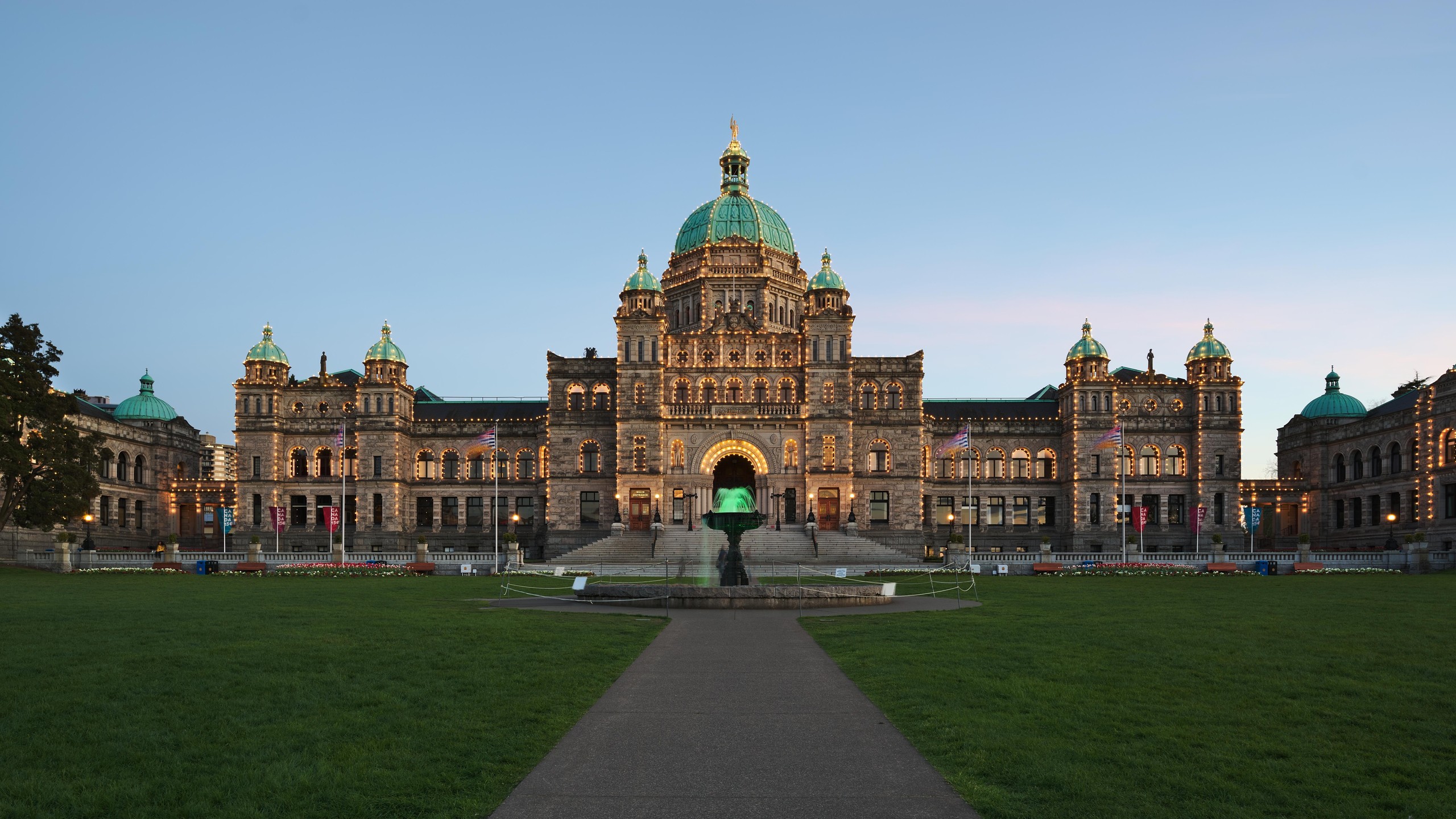
Dropping onto Lekwungen ground for the run into Victoria, with Terry Fox waiting in bronze where the highway meets the Pacific.
Fit · finish · offline
Practical before picturesque.
Who it fits
Entirely drivable, narration plays through your car speakers with no required stops. The Malahat summit is the one weather-exposed stretch; check DriveBC before setting out in winter.
Where it ends
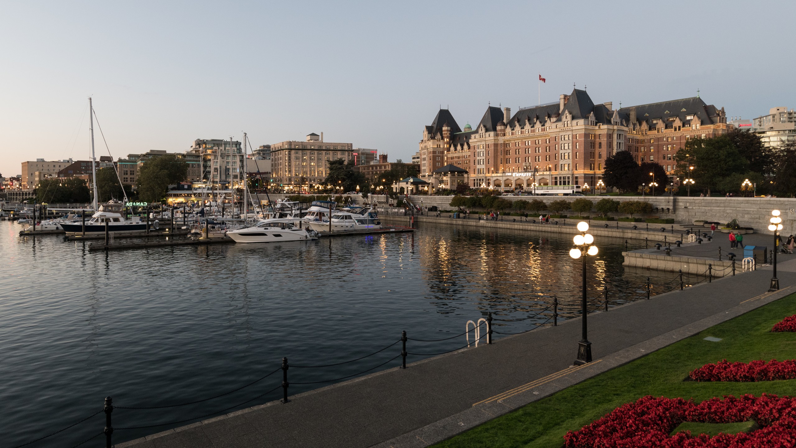
Ends at Mile 0 in Victoria, where the Trans-Canada Highway runs out at the edge of the Pacific.
Offline
Download the tour before you go. Its audio, route, and stop details remain available through dead zones and roaming-off travel. Live street-map imagery is not part of this offline promise.
Vancouver Island · Driving · US$14.99 · One-time
Take the route with you.
Download Camena, open the tour at its start, and the stories find you along the way.
3 more routes
Other routes