Walking · 57 min · 3.3 km · 27 stops
Victoria: Inner Harbour
A free, self-guided walking tour of Victoria's Inner Harbour. Stories play automatically as you reach them: the 25-year-old who designed the postcard skyline, the fur-trade fort that became a capital, the gold rush that flooded the harbour in a single summer, and the Lekwungen shore that carried a name for thousands of years first. Hands-free, eyes up.
Free
Starts
Tourism Victoria Visitor Centre, 812 Wharf Street
812 Wharf Street, Victoria, BC, Wharf Street at Government Street, on the Inner Harbour causeway · Start at the Visitor Centre on the causeway steps, below the Empress. The first stop fires as you reach the harbour rail.
Time
57 min
About 50 minutes at walking pace, closer to an hour with photo stops.
Narration
38 min audio · 8 languages
English · Français · 中文 · Deutsch · Português · 한국어 · Español · 日本語
Offline
Works offline
Audio, route and stop details download with the tour.
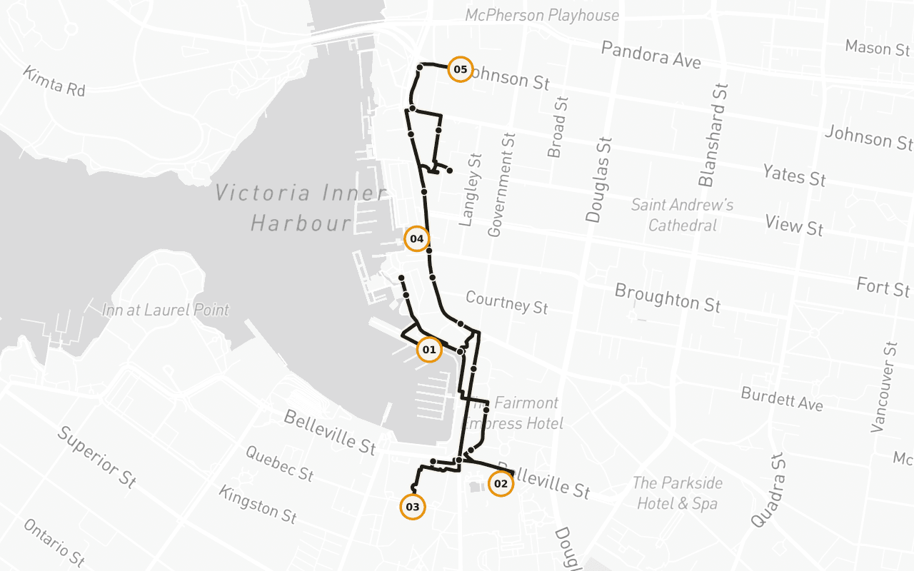
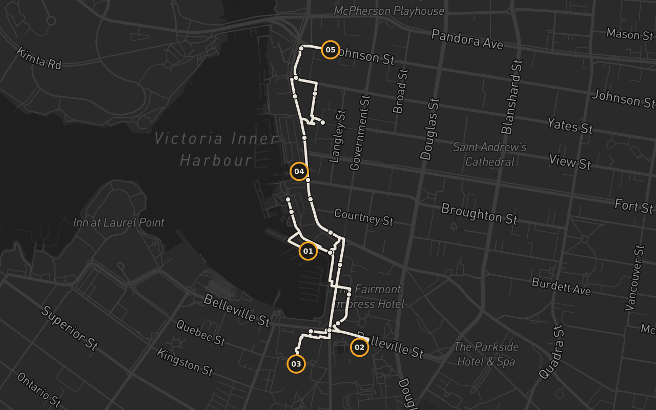
Route · 3.3 km · 27 stops · Walking
Know the shape of the day.
Read the English sample transcript
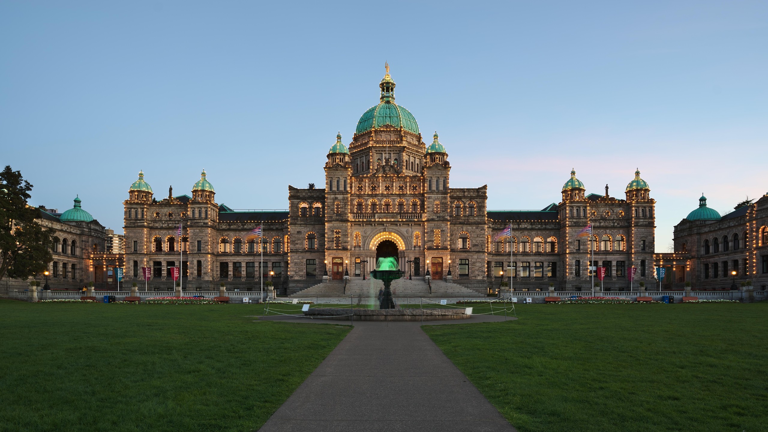
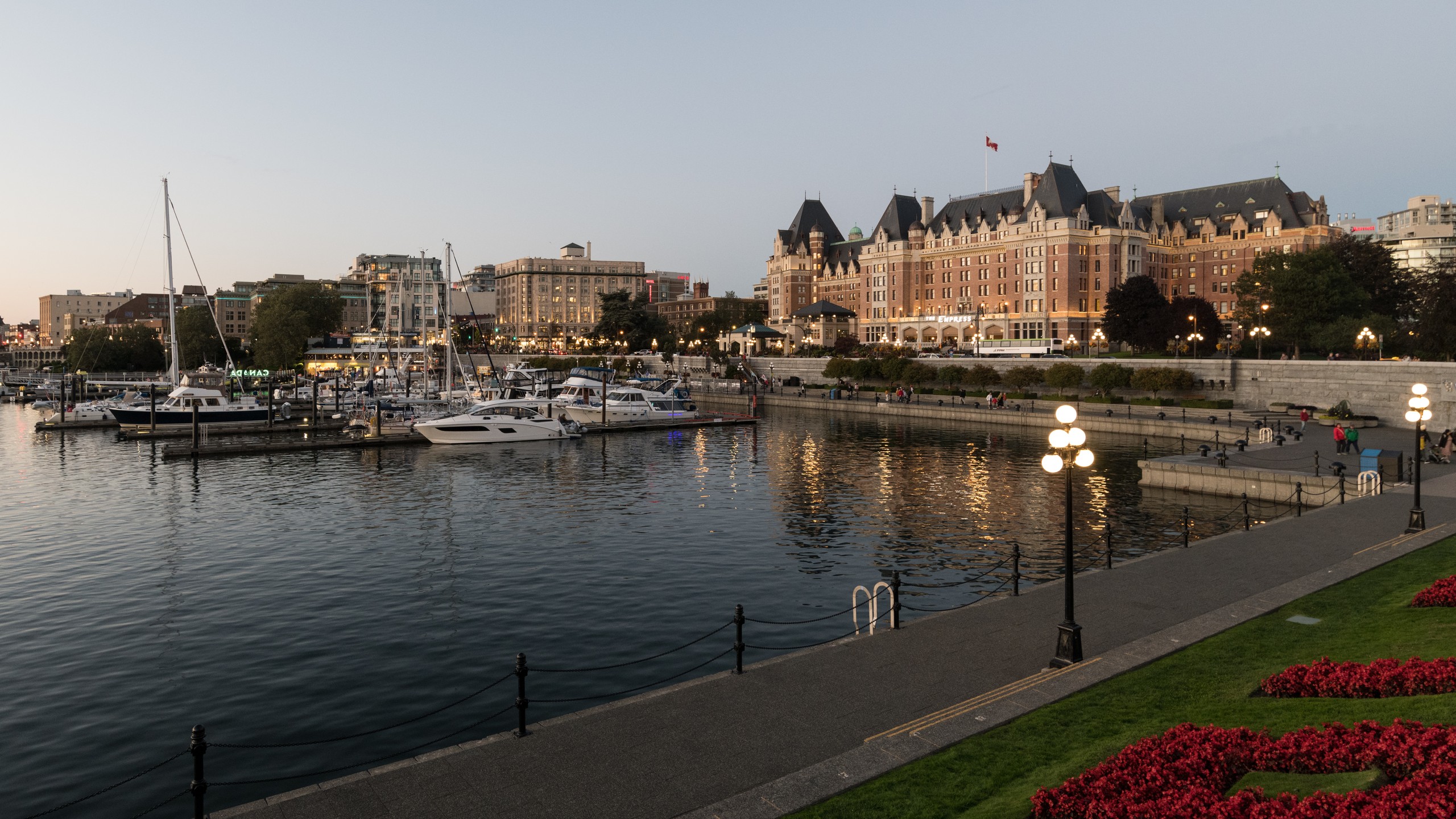
Start with the water. Floatplanes drop onto the harbour ahead of you and climb back out of it all day, on a schedule, like buses; the small ferries putter between the docks; this is a working basin with a postcard wrapped around it. And the postcard has an author. Across the water stand the Parliament Buildings (domed, grey, outlined in lights after dark), and the man who designed them was Francis Rattenbury: twenty-five years old, newly arrived from England, who entered the competition under a pseudonym and beat every established architect in the province. The Legislature opened in 1898. Most of what your eye is enjoying right now was staged inside a single decade by one very young immigrant in a hurry. And it is the smaller half of the story. Under an hour of walking from here, this harbour keeps handing you older versions of itself: the fur-trade fort that turned into a capital, and beneath that the shore the fort was built on. These are Lekwungen lands and waters. Camosack, the rush of water, for the tide pouring through the narrows, a coastline held in six family territories, each with its own houses and its own rights to what the water gave. The Lekwungen people are here today as the Songhees and Esquimalt Nations. The route turns right along the causeway.
Map preview for planning fit. It is not turn-by-turn navigation; Camena guides story playback along the published route.
5 of 27 stops
Stories with a sense of place.
Signs of Lekwungen: the spindle whorl
A bronze spindle whorl set in the paving, one of seven Signs of Lekwungen markers at places of cultural significance to the Lekwungen people. Coast Salish artist Butch Dick carved them with his sons, for a project of the Songhees and Esquimalt Nations and the City.
BC Parliament Cultural Context
The Parliament Buildings in daylight: designed by 25-year-old Francis Rattenbury, the same imagination that later gave the harbour the Empress, working the same view twice a decade apart.
Helmcken House: the log house behind the museum
Behind the museum: Thunderbird Park, its standing poles mostly Gitxsan, Haida and Kwakwaka'wakw, and the old log house behind them.
Bastion Square Fort Victoria Site
You are standing where Fort Victoria went up in 1843, and where the story moves onto paper: the 1850 deed for this land, the hunting and fishing rights written into it, and well over a century in court since.
Market Square
A courtyard hemmed in by brick and stone blocks that once served the sailors and dockworkers coming up from the wharves, restored in 1975, early in the heritage movement.
Read the route guide: every named stop, its distance from the start, and practical details
Fit · finish · offline
Practical before picturesque.
Who it fits
An easy, mostly flat 3.3 km on paved downtown sidewalks and the harbour causeway. Narration triggers from your location, so pausing for photos or coffee costs nothing. Steps lead down to the lower causeway at the start and finish; the upper causeway walk above it avoids them.
Where it ends
A loop that brings you back to the Visitor Centre on the Inner Harbour Causeway, where you started.
Offline
Download the tour before you go. Its audio, route, and stop details remain available through dead zones and roaming-off travel. Live street-map imagery is not part of this offline promise.
Victoria · Walking · Free
Take the route with you.
Download Camena, open the tour at its start, and the stories find you along the way.
3 more routes
Other routes