Biking · 2 hr 17 min · 30 km · 65 stops
Victoria: Galloping Goose
A 30-kilometre self-guided ride down the Galloping Goose rail trail, from the Johnson Street Bridge out through warehouse blocks, farmland and gravel country to the forest at Matheson Lake, the coast's whole record laid out in order, because a railway went broke and left the evidence lying in a line. Narration triggers by GPS and plays as you ride.
US$12.99 One-time Free app · this tour unlocks in the app Your store shows your local price before you buy
Starts
Johnson Street Bridge (Inner Harbour)
Wharf Street at Pandora Avenue, Victoria, BC · Start at the corner of Wharf Street and Pandora Avenue. Cross the Johnson Street Bridge on the protected multi-use path, then turn right onto the paved connector toward Harbour Road and the first trigger.
Time
2 hr 17 min
About 2 hours riding one way; plan a half day with the return.
Narration
69 min audio · 8 languages
English · 中文 · 한국어 · Português · Français · Español · 日本語 · Deutsch
Offline
Works offline
Audio, route and stop details download with the tour.
Route · 30 km · 65 stops · Biking
Know the shape of the day.
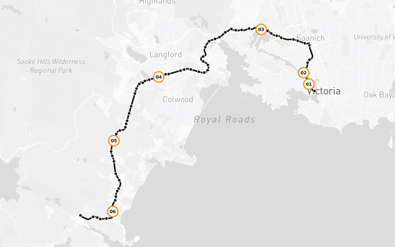
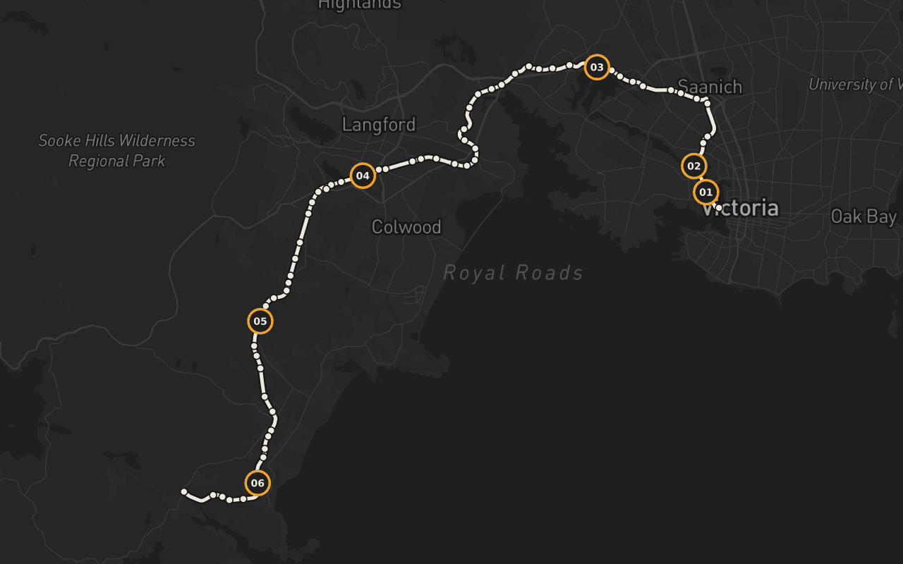
Read the English sample transcript
In 1922, a gas-powered railcar numbered 15813 started rolling out of Victoria twice a day, hauling the mail and about thirty passengers into the country beyond. It was loud, it lurched, and it looked faintly ridiculous doing it, enough that people started calling it the Galloping Goose. The bird stuck. The railway did not. But the line it ran on cut a corridor fifty-five kilometres out of this city, and the eastern stretch of that corridor is what you're travelling now, straight ahead from this bridge over the harbour. Over the next couple of hours you'll cross tidal water on a timber trestle three hundred metres long, pass through warehouse blocks and back gardens, then farmland, then a gravel pit big enough to swallow a neighbourhood, then out to country that people fought to keep rural. It's a genuinely great ride, and it's also a reading, the coast's whole record laid out in order, port to farm to quarry to suburb, because a railway went broke and left the evidence lying in a line. Everything the last century and a half did to this place, it did along here, and you get to see it in sequence, at walking or riding pace, with salt water on one side of the morning and mountains at the end of it. Let's go.
Map preview for planning fit. It is not turn-by-turn navigation; Camena guides story playback along the published route.
6 of 65 stops
Stories with a sense of place.
The Goose Itself
Why the trailside kilometre markers are quietly lying to you, the Goose is measured from a bridge you can't actually ride to.
Selkirk Trestle
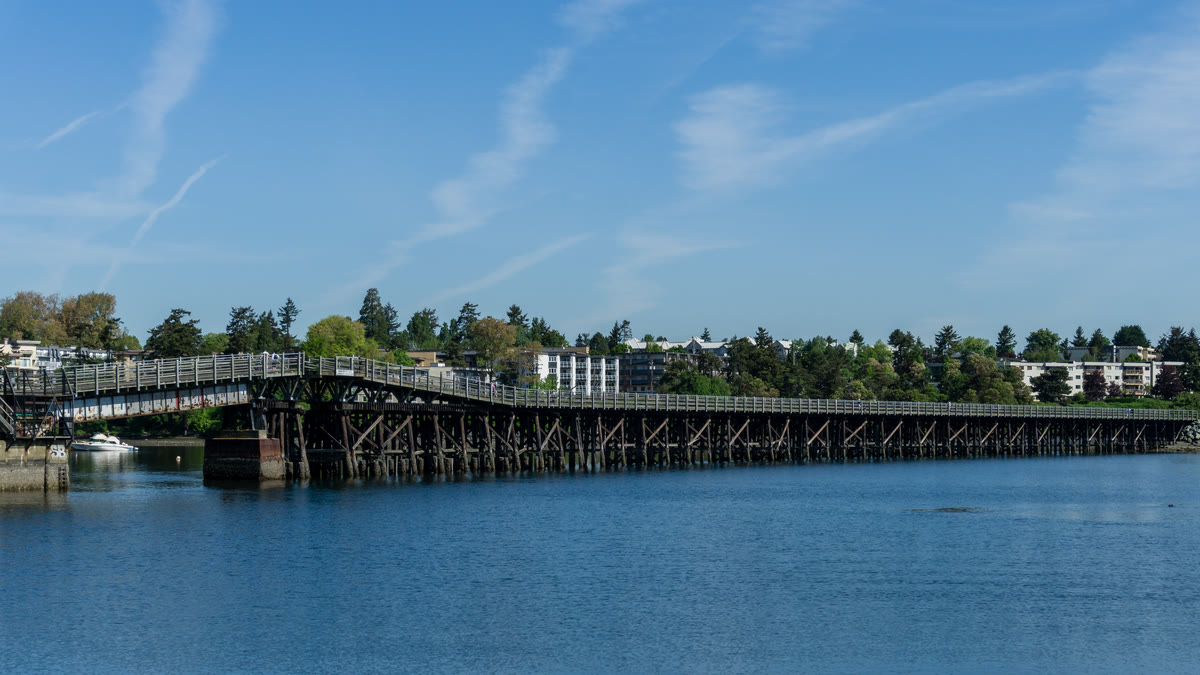
Three hundred metres of timber trestle over tidal water, five metres wide, exactly enough for the strollers, dogs, cyclists and herring fishers of a Sunday afternoon.
Esquimalt Nation Territory
The corridor runs through unceded territory, this stretch is the land of the Lekwungen-speaking peoples, today's Esquimalt and Songhees Nations, and the ride says so plainly.
Garry Oak Country
Garry oak country: the only oak native to British Columbia, one of two in all of western Canada, growing in a narrow band this trail happens to thread.
Riding It in Sections
How people actually ride the Goose, the map flatters everybody, and the CRD's own trail guide is blunter about who finishes it in a day.
Matheson Lake: Park History
The route existed long before the railway: a footpath through this country, the practical way between the coast and the capital, and the park history waiting at the far end.
Fit · finish · offline
Practical before picturesque.
Who it fits
Paved for the first 13 km (Johnson Street Bridge to Wale Road); past Atkins Avenue the surface is compacted former rail-bed, rural and rough, with bumps and the odd mud puddle. Bring a mountain or gravel bike; street bikes aren't recommended west of Atkins.
Where it ends
One-way to the Matheson Lake trailhead; ride back along the same corridor, or turn around wherever suits the day.
Offline
Download the tour before you go. Its audio, route, and stop details remain available through dead zones and roaming-off travel. Live street-map imagery is not part of this offline promise.
Victoria · Biking · US$12.99 · One-time
Take the route with you.
Download Camena, open the tour at its start, and the stories find you along the way.
3 more routes
Other routes