Driving · 2 hr 10 min · 117 km · 66 stops
Victoria–Nanaimo: Highway 1
A self-guided driving tour of the first 110 kilometres of the Trans-Canada Highway, Mile 0 to the Departure Bay ferry, over the Malahat, through the Cowichan Valley's warm land, past mill towns that outlived their mills. Every place on this road was built for a reason that no longer exists; the narration strings them into one story while you drive, hands-free, triggered by GPS.
US$14.99 One-time Free app · this tour unlocks in the app Your store shows your local price before you buy
Direction
Two directions · one purchase
Starts
Mile 0 monument (Beacon Hill Park)
Corner of Douglas Street and Dallas Road, Beacon Hill Park, Victoria · Start near the Mile 0 marker at the water's edge, the first track plays from your car as soon as you pull away, heading north on Douglas Street.
Time
2 hr 10 min
About 2 hours of driving without stops; comfortably a half day with them.
Narration
79 min audio · 8 languages
English · Français · 中文 · 한국어 · Português · Deutsch · Español · 日本語
Offline
Works offline
Audio, route and stop details download with the tour.
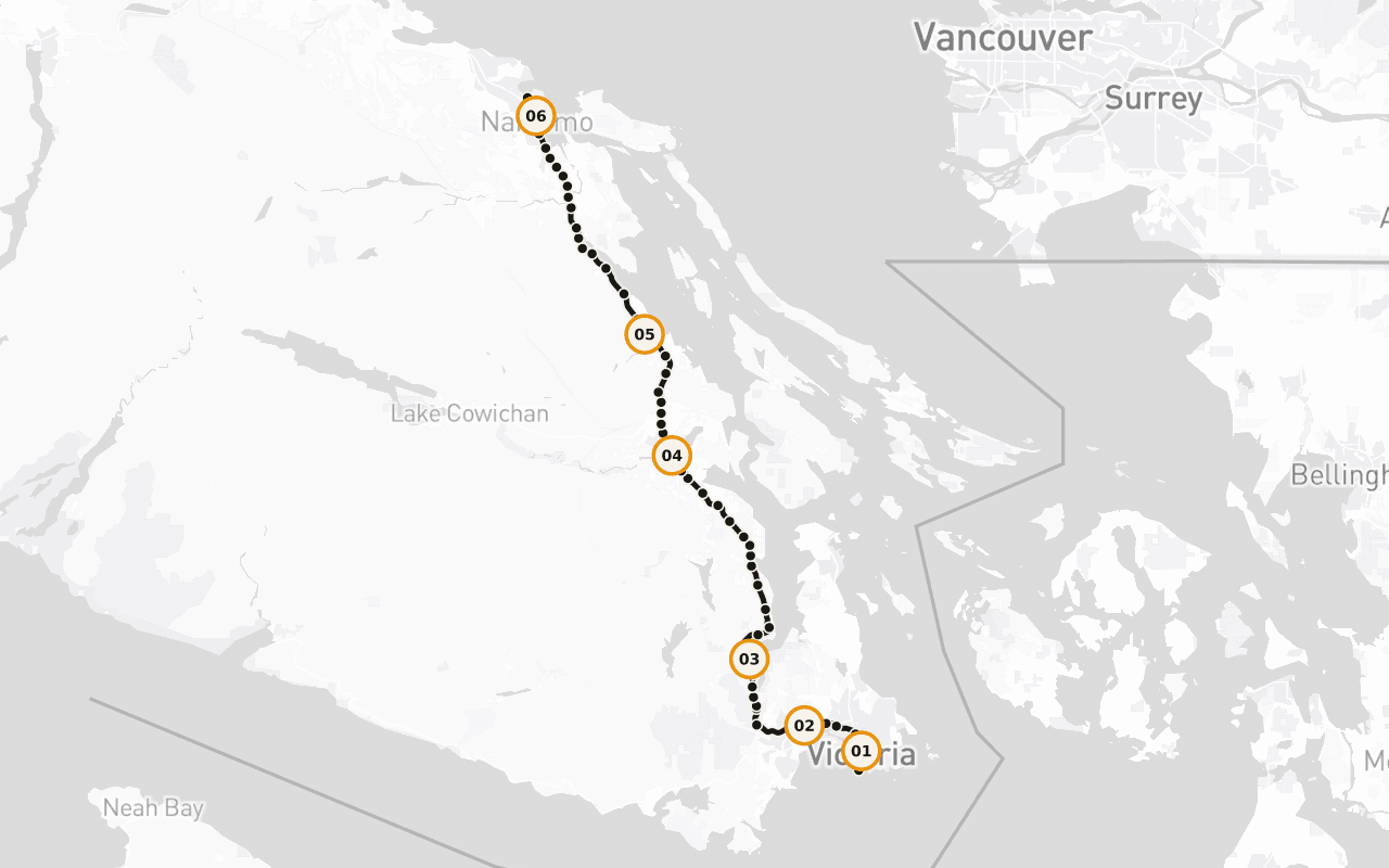
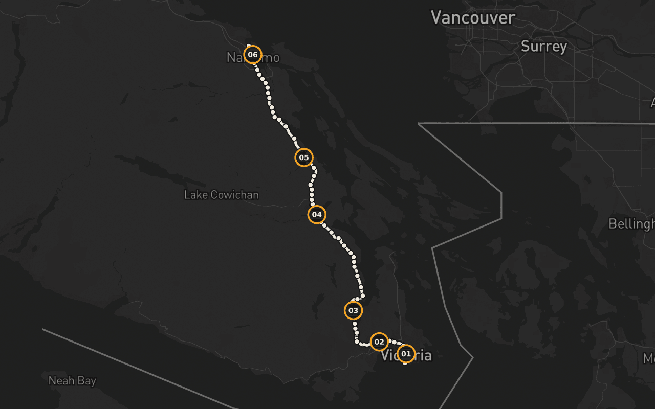
Route · 117 km · 66 stops · Driving
Know the shape of the day.
Read the English sample transcript
Behind you, at the corner of Douglas Street and Dallas Road, in Beacon Hill Park, there's a marker at the edge of the water that says Mile 0. That's the western end of the Trans-Canada Highway. From that curb, the road runs roughly eight thousand kilometres, across this island, across a strait, across mountains and prairie and shield and forest, all the way to the far side of the country. Every kilometre of the longest highway in Canada is measured from a spot you could throw a stone into the ocean from. We're going to drive the first hundred and ten of them, and I'll tell you now, those first hundred and ten are strange and good. You'll pass a working ferry terminal and a summit where the whole inland sea opens up beneath you. You'll go through a valley that grows wine grapes because the summers are genuinely hot, past a town that painted its entire downtown when the sawmill closed rather than quietly disappear, past a marsh where a thousand trumpeter swans spend the winter, and into a harbour city that came into being because of a single load of black rock. The places along this stretch have one thing in common that only shows up when you string them together: each of them was built for a reason that no longer exists. The coal ran out. The mill shut. The rail line stopped. And every one of them is still here, doing something else, which is a harder and more interesting story than the one about how they started. This is also Coast Salish territory, all hundred and ten kilometres of it, and there are nations along this road who have been here for thousands of years and are here now, running fisheries, forestry, hotels, treaty negotiations. Their story isn't a preamble to this highway. It's the spine of it. The route continues straight ahead from here. Give me the next two hours and I'll show you the whole thing.
Map preview for planning fit. It is not turn-by-turn navigation; Camena guides story playback along the published route.
6 of 66 stops
Stories with a sense of place.
Terry Fox: The Unfinished Marathon
Terry Fox mid-stride in bronze near Mile 0, the finish line of the Marathon of Hope, reached by the statue and not the runner.
What Is the Malahat?
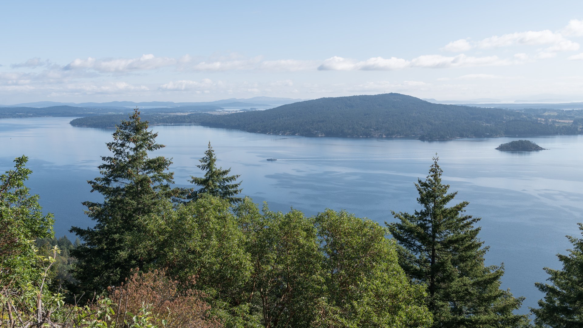
The Malahat, explained: twenty-five kilometres of Highway 1 working up the side of Saanich Inlet, and why locals talk about it the way other people talk about weather.
A Fjord Like the Black Sea
A glacially carved fjord up to 226 metres deep, with a rock sill at its mouth that throttles the deep water, one of the strangest bodies of water on the coast.
City of Totems
Cowichan Tribes, the largest single First Nation band in British Columbia, over 4,900 members, a live fact rather than a historical one.
The Little Town That Did
Chemainus lost the mill economy it was built on, and painted its entire downtown rather than quietly disappear.
Swy-a-Lana and Saysutshun
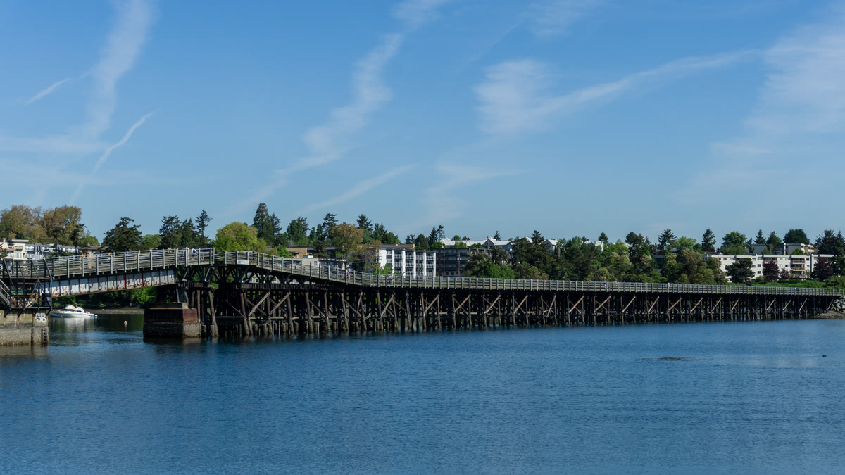
Arrival in the Harbour City: the seawall through Maffeo Sutton Park, the tidal Swy-a-Lana Lagoon, and Saysutshun just offshore.
Fit · finish · offline
Practical before picturesque.
Who it fits
Entirely drivable, narration plays through your car speakers with no required stops. The Malahat summit is the one weather-exposed stretch; check DriveBC before setting out in winter.
Where it ends
Ends at the Departure Bay ferry terminal in Nanaimo, where a mainland sailing, or the road north, picks up.
Offline
Download the tour before you go. Its audio, route, and stop details remain available through dead zones and roaming-off travel. Live street-map imagery is not part of this offline promise.
Vancouver Island · Driving · US$14.99 · One-time
Take the route with you.
Download Camena, open the tour at its start, and the stories find you along the way.
3 more routes
Other routes