자동차 · 2시간 10분 · 117km · 지점 66곳
빅토리아–나나이모: 트랜스캐나다 하이웨이
트랜스캐나다 하이웨이의 첫 110킬로미터를 달리는 셀프 가이드 드라이브 투어예요. 마일 0에서 디파처 베이 페리 터미널까지, 말라핫을 넘고 코위찬 밸리의 따뜻한 땅을 지나 제재소보다 오래 살아남은 마을들을 거쳐요. 이 길 위의 모든 장소는 지금은 사라진 이유 때문에 세워졌어요. 해설은 GPS로 자동 재생돼서, 운전하는 동안 손댈 필요 없이 그 장소들을 하나의 이야기로 엮어줘요.
US$14.99 일회성 구매 무료 앱 · 이 투어는 앱 안에서 잠금 해제돼요 구매 전에 스토어가 현지 가격을 보여드려요
방향
두 방향 · 한 번 구매
출발
마일 0 기념비 (Beacon Hill Park)
Douglas Street와 Dallas Road가 만나는 지점, Beacon Hill Park, Victoria · 물가에 있는 마일 0 표지판 근처에서 출발하십시오. 차를 출발시키자마자 첫 번째 트랙이 재생되며, Douglas Street를 따라 북쪽으로 이동합니다.
시간
2시간 10분
쉬지 않고 달리면 약 2시간, 중간중간 들르면 반나절 일정으로 여유롭게 즐길 수 있어요.
내레이션
오디오 79분 · 8개 언어
English · Français · 中文 · 한국어 · Português · Deutsch · Español · 日本語
오프라인
오프라인 지원
오디오, 경로, 지점 정보가 투어와 함께 다운로드돼요.
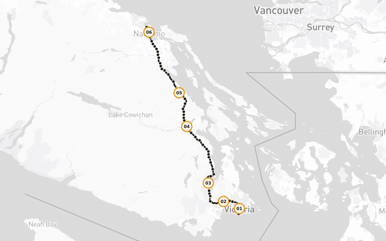
경로 정보 · 117km · 지점 66곳 · 자동차
하루의 흐름을 파악하세요.
영어 샘플 스크립트 읽기
Behind you, at the corner of Douglas Street and Dallas Road, in Beacon Hill Park, there's a marker at the edge of the water that says Mile 0. That's the western end of the Trans-Canada Highway. From that curb, the road runs roughly eight thousand kilometres, across this island, across a strait, across mountains and prairie and shield and forest, all the way to the far side of the country. Every kilometre of the longest highway in Canada is measured from a spot you could throw a stone into the ocean from. We're going to drive the first hundred and ten of them, and I'll tell you now, those first hundred and ten are strange and good. You'll pass a working ferry terminal and a summit where the whole inland sea opens up beneath you. You'll go through a valley that grows wine grapes because the summers are genuinely hot, past a town that painted its entire downtown when the sawmill closed rather than quietly disappear, past a marsh where a thousand trumpeter swans spend the winter, and into a harbour city that came into being because of a single load of black rock. The places along this stretch have one thing in common that only shows up when you string them together: each of them was built for a reason that no longer exists. The coal ran out. The mill shut. The rail line stopped. And every one of them is still here, doing something else, which is a harder and more interesting story than the one about how they started. This is also Coast Salish territory, all hundred and ten kilometres of it, and there are nations along this road who have been here for thousands of years and are here now, running fisheries, forestry, hotels, treaty negotiations. Their story isn't a preamble to this highway. It's the spine of it. The route continues straight ahead from here. Give me the next two hours and I'll show you the whole thing.
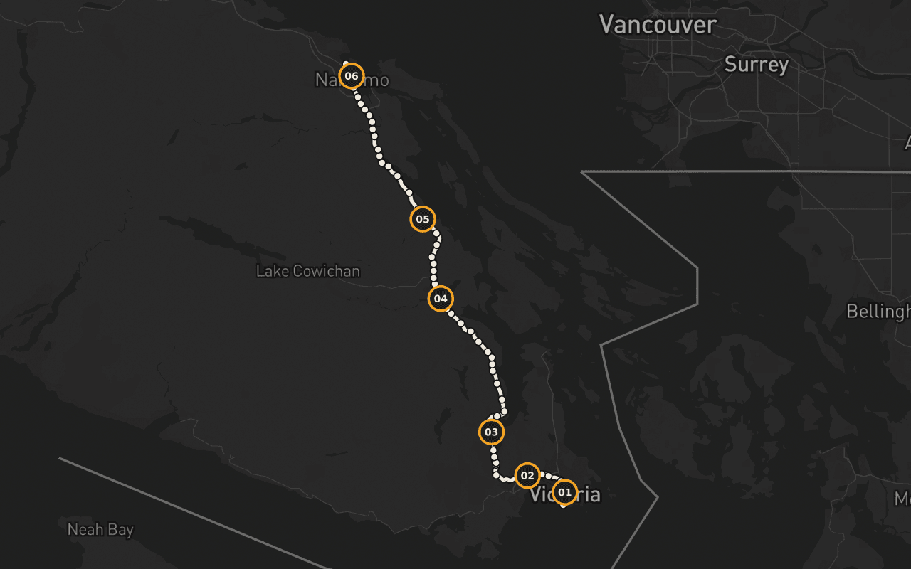
일정에 맞는지 계획할 수 있도록 보여 주는 경로 지도예요. 길 안내 내비게이션이 아니며, Camena는 공개된 경로를 따라 이야기를 재생해요.
66개 중 6번 지점
장소의 감각을 담은 이야기.
Terry Fox: 끝내지 못한 마라톤
마일 0 곁에, 달리는 자세 그대로 청동으로 남은 Terry Fox. ‘희망의 마라톤’의 결승점이자, 달리던 본인 대신 동상이 도착한 자리예요.
Malahat란 무엇일까요?
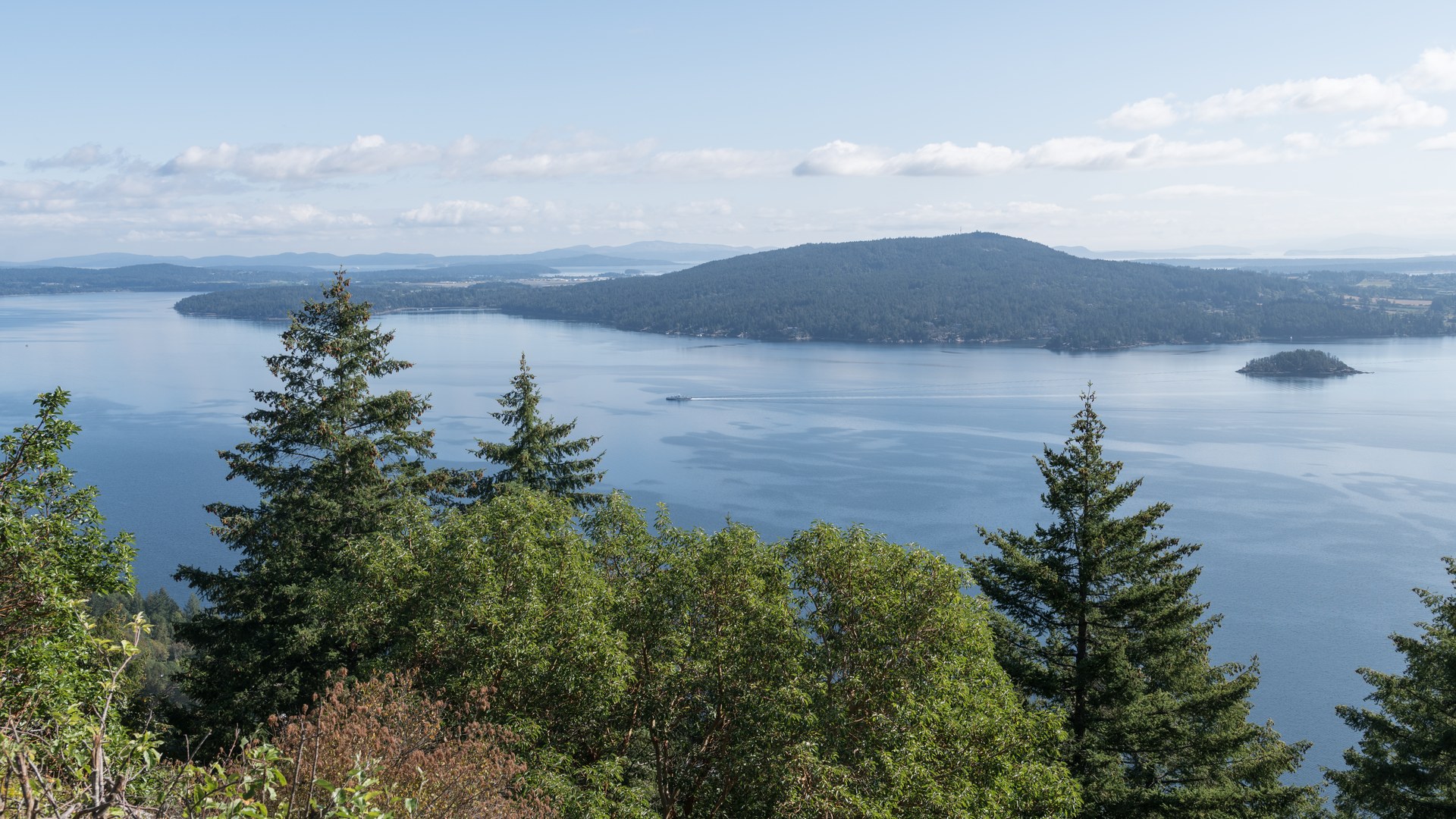
말라핫이란 무엇인가. Saanich Inlet 사면을 따라 올라가는 25킬로미터의 1번 하이웨이 구간, 그리고 현지 사람들이 이 길을 마치 날씨처럼 이야기하는 이유예요.
흑해를 닮은 피오르
빙하가 깎아 만든 최대 수심 226미터의 피오르. 입구에 놓인 암반 문턱이 깊은 물의 흐름을 옥죄면서, 이 해안에서 가장 기묘한 수역 중 하나가 됐어요.
토템의 도시
브리티시컬럼비아에서 규모가 가장 큰 단일 퍼스트 네이션 공동체인 Cowichan Tribes. 구성원이 4,900명이 넘는, 역사가 아니라 지금 살아 있는 사실이에요.
해낸 작은 마을
셔메이너스는 마을을 지탱하던 제재소 경제를 잃었어요. 그리고 조용히 사라지는 대신, 도심 전체를 벽화로 뒤덮었죠.
Swy-a-Lana와 Saysutshun
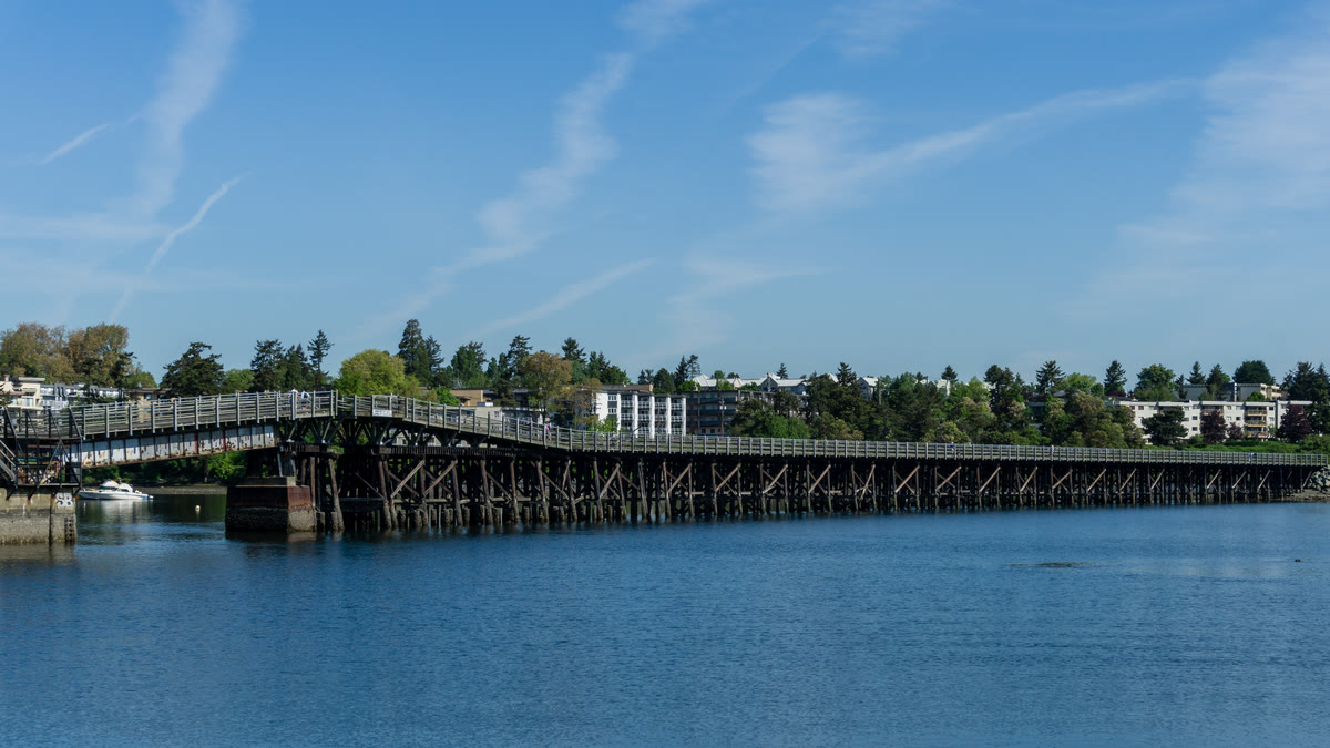
‘항구 도시’ 나나이모에 도착해요. Maffeo Sutton Park를 따라 이어지는 해안 산책로와 조수가 드나드는 Swy-a-Lana 석호, 그리고 바로 앞바다에 떠 있는 Saysutshun을 만나요.
추천 대상 · 종료 · 오프라인
풍경보다 실용적인 정보부터.
추천 대상
차에서 내리지 않고 끝까지 즐길 수 있어요. 해설은 차량 스피커로 재생되고, 반드시 멈춰야 하는 지점은 없어요. 날씨의 영향을 받는 구간은 말라핫 정상 부근 하나뿐이니, 겨울에 출발한다면 DriveBC에서 도로 상황을 확인하세요.
종료 지점
나나이모의 디파처 베이 페리 터미널에서 끝나요. 여기서 본토행 페리를 타거나, 북쪽으로 이어지는 길을 계속 달릴 수 있어요.
오프라인
출발하기 전에 투어를 다운로드하세요. 오디오, 경로, 지점 정보는 통신이 끊기는 구간과 로밍을 사용하지 않는 여행 중에도 이용할 수 있어요. 실시간 거리 지도 이미지는 이 오프라인 기능에 포함되지 않아요.
Vancouver Island · 자동차 · US$14.99 · 일회성 구매
경로를 함께 가져가세요.
Camena를 다운로드해 투어의 출발 지점에서 열면, 이야기가 길을 따라 찾아와요.
다른 경로 3개
다른 경로