En auto · 2 h 10 min · 117 km · 66 paradas
Victoria–Nanaimo: la Transcanadiense
Un recorrido autoguiado en auto por los primeros 110 kilómetros de la Transcanadiense: de la Milla 0 al ferry de Departure Bay, cruzando el Malahat, atravesando la tierra cálida del valle de Cowichan y pasando por pueblos madereros que sobrevivieron a sus aserraderos. Cada lugar de esta carretera se levantó por una razón que ya no existe; la narración los hila en una sola historia mientras manejas, con las manos libres y activada por GPS.
US$14.99 Compra única App gratis · este tour se desbloquea en la app Tu tienda muestra tu precio local antes de comprar
Dirección
Dos direcciones · una sola compra
Inicio
Monumento de la Milla 0 (Beacon Hill Park)
Comienza cerca del marcador de la Milla 0, en Douglas Street y Dallas Road: el tour empieza a narrar desde tu auto en cuanto arrancas.
Tiempo
2 h 10 min
Unas 2 horas de manejo sin paradas; con paradas, medio día tranquilo.
Narración
79 min de audio · 8 idiomas
English · Français · 中文 · 한국어 · Português · Deutsch · Español · 日本語
Sin conexión
Funciona sin conexión
El audio, la ruta y los detalles de las paradas se descargan con el tour.
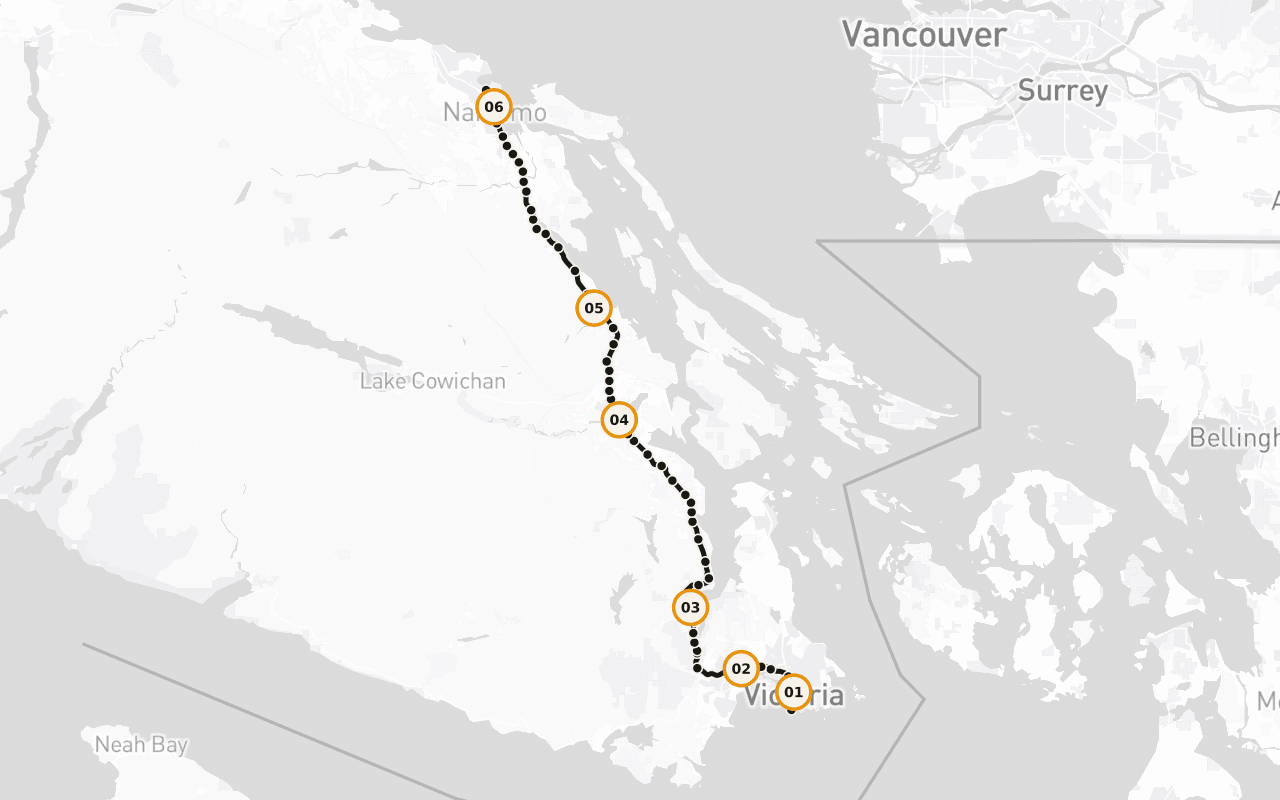
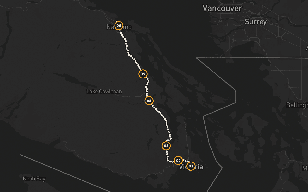
Ruta · 117 km · 66 paradas · En auto
Conoce el plan del día.
Leer la transcripción de la muestra en inglés
Behind you, at the corner of Douglas Street and Dallas Road, in Beacon Hill Park, there's a marker at the edge of the water that says Mile 0. That's the western end of the Trans-Canada Highway. From that curb, the road runs roughly eight thousand kilometres, across this island, across a strait, across mountains and prairie and shield and forest, all the way to the far side of the country. Every kilometre of the longest highway in Canada is measured from a spot you could throw a stone into the ocean from. We're going to drive the first hundred and ten of them, and I'll tell you now, those first hundred and ten are strange and good. You'll pass a working ferry terminal and a summit where the whole inland sea opens up beneath you. You'll go through a valley that grows wine grapes because the summers are genuinely hot, past a town that painted its entire downtown when the sawmill closed rather than quietly disappear, past a marsh where a thousand trumpeter swans spend the winter, and into a harbour city that came into being because of a single load of black rock. The places along this stretch have one thing in common that only shows up when you string them together: each of them was built for a reason that no longer exists. The coal ran out. The mill shut. The rail line stopped. And every one of them is still here, doing something else, which is a harder and more interesting story than the one about how they started. This is also Coast Salish territory, all hundred and ten kilometres of it, and there are nations along this road who have been here for thousands of years and are here now, running fisheries, forestry, hotels, treaty negotiations. Their story isn't a preamble to this highway. It's the spine of it. The route continues straight ahead from here. Give me the next two hours and I'll show you the whole thing.
Mapa de la ruta para comprobar si se adapta a tus planes. No ofrece navegación giro a giro; Camena guía la reproducción de historias a lo largo de la ruta publicada.
6 de 66 paradas
Historias que conectan con cada lugar.
Terry Fox: el maratón inconcluso
Terry Fox en bronce, a media zancada cerca de la Milla 0: la meta del Maratón de la Esperanza, alcanzada por la estatua y no por el corredor.
¿Qué es el Malahat?
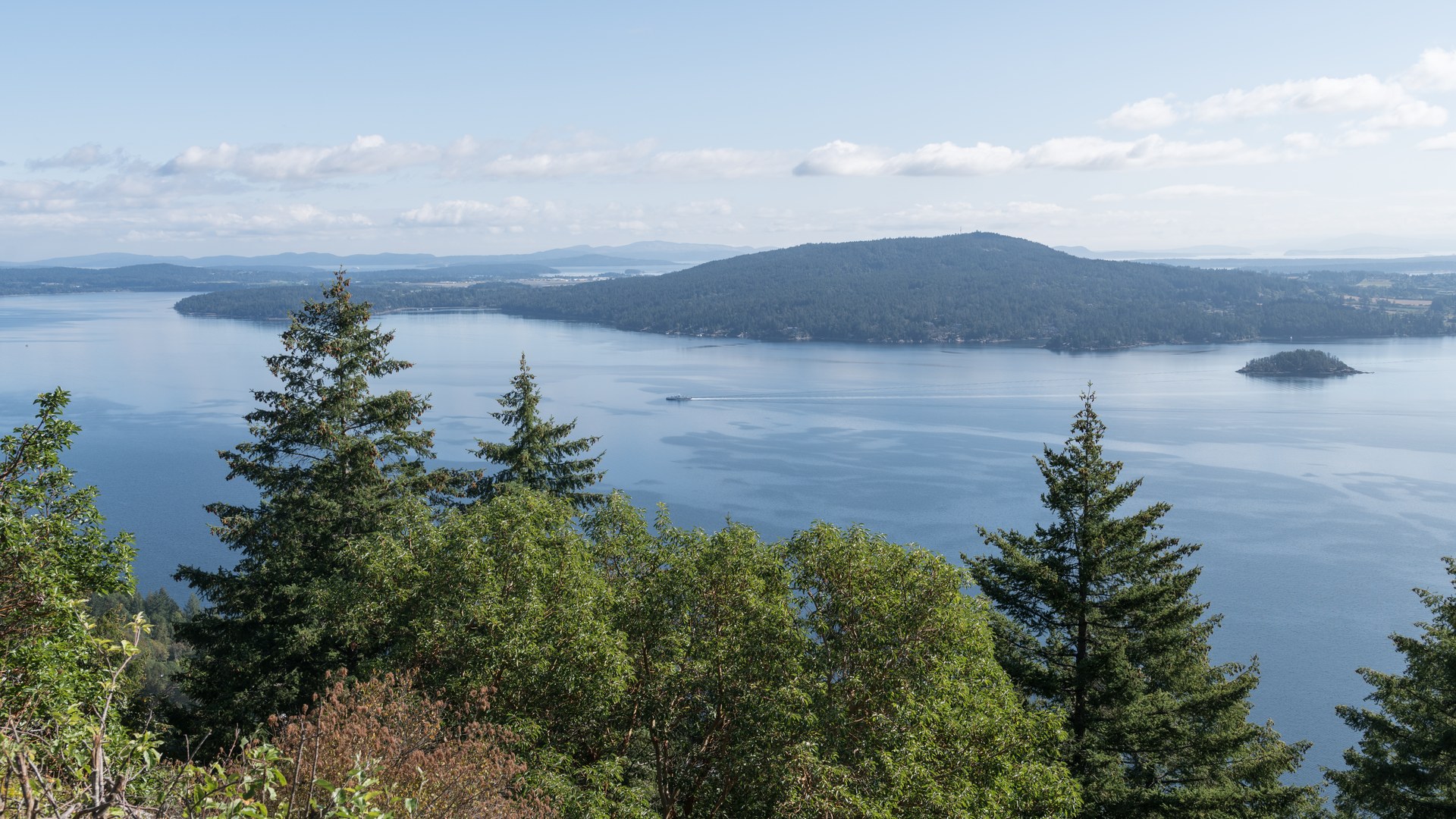
El Malahat, explicado: veinticinco kilómetros de la Highway 1 trepando por el costado del Saanich Inlet, y por qué la gente de aquí habla de él como otros hablan del clima.
Un fiordo como el mar Negro
Un fiordo de hasta 226 metros de profundidad, excavado por los glaciares, con un umbral de roca en la boca que estrangula el agua profunda: uno de los cuerpos de agua más extraños de la costa.
La ciudad de los tótems
Cowichan Tribes, la banda de Primera Nación más numerosa de Columbia Británica: más de 4,900 miembros, un dato vivo y no histórico.
El pueblito que sí pudo
Chemainus perdió la economía del aserradero sobre la que se construyó y, en vez de desaparecer en silencio, pintó su centro entero.
Swy-a-Lana y Saysutshun
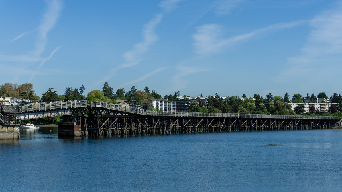
Llegada a la Harbour City: el malecón por Maffeo Sutton Park, la laguna de marea Swy-a-Lana y Saysutshun justo frente a la costa.
Para quién · final · sin conexión
Lo práctico antes que lo pintoresco.
Para quién es
Todo el recorrido se hace en auto: la narración suena por las bocinas de tu auto y no hay paradas obligatorias. La cima del Malahat es el único tramo expuesto al clima; consulta DriveBC antes de salir en invierno.
Dónde termina
Termina en la terminal de ferris de Departure Bay, en Nanaimo, donde empieza la travesía al continente o el camino hacia el norte.
Sin conexión
Descarga el tour antes de salir. El audio, la ruta y los detalles de las paradas siguen disponibles en zonas sin señal y durante viajes sin datos móviles. Las imágenes de mapas de calles en vivo no forman parte de esta promesa sin conexión.
Vancouver Island · En auto · US$14.99 · Compra única
Lleva la ruta contigo.
Descarga Camena, abre el tour en su punto de inicio y las historias te encuentran en el camino.
3 rutas más
Otras rutas