驾车 · 2 小时 10 分钟 · 117 公里 · 66 个地点
维多利亚–纳奈莫:横加公路
横加公路前110公里的自驾语音导览,从零英里到启程湾渡轮码头,翻越马拉哈特山口,穿过考伊琴谷的温暖之地,经过那些比自家锯木厂活得更久的小镇。这条路上的每一处地方,当初存在的理由如今都已消失;旁白会在你开车时把它们串成一个故事,双手不离方向盘,全程由 GPS 触发。
14.99 美元 一次性购买 免费应用 · 该导览在应用内解锁 购买前,应用商店会显示你当地的价格
方向
两个方向 · 一次性购买
起点
零英里纪念碑(Beacon Hill Park)
Victoria市Beacon Hill Park内,Douglas Street与Dallas Road交界处 · 请从水边的零英里标记附近出发,您的车辆一启动驶离,第一段音轨便会开始播放,沿Douglas Street向北行驶。
时长
2 小时 10 分钟
不停车约2小时车程;一路停停看看,安排半天正合适。
旁白
音频 79 分钟 · 8 种语言
English · Français · 中文 · 한국어 · Português · Deutsch · Español · 日本語
离线
离线可用
音频、路线和地点详情会随导览一起下载。
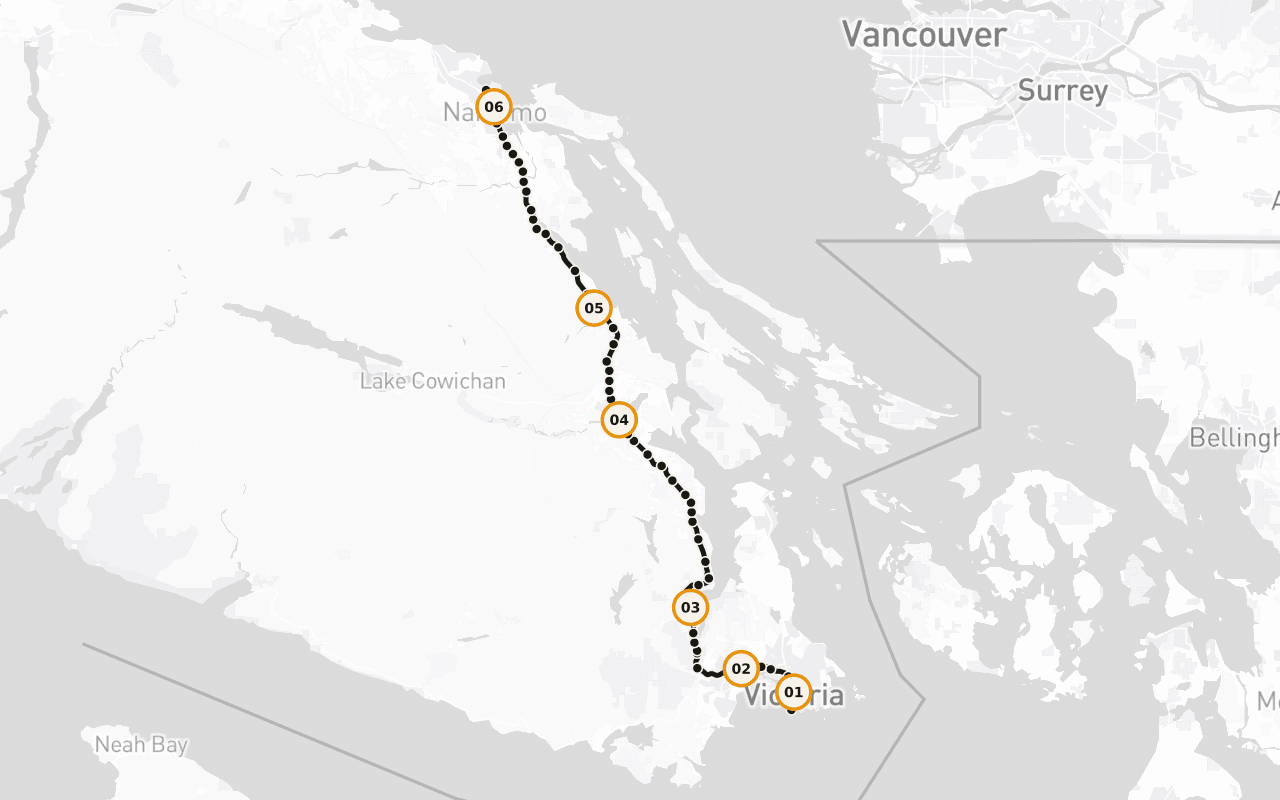
路线信息 · 117 公里 · 66 个地点 · 驾车
了解这一天的行程轮廓。
阅读英语示例文稿
Behind you, at the corner of Douglas Street and Dallas Road, in Beacon Hill Park, there's a marker at the edge of the water that says Mile 0. That's the western end of the Trans-Canada Highway. From that curb, the road runs roughly eight thousand kilometres, across this island, across a strait, across mountains and prairie and shield and forest, all the way to the far side of the country. Every kilometre of the longest highway in Canada is measured from a spot you could throw a stone into the ocean from. We're going to drive the first hundred and ten of them, and I'll tell you now, those first hundred and ten are strange and good. You'll pass a working ferry terminal and a summit where the whole inland sea opens up beneath you. You'll go through a valley that grows wine grapes because the summers are genuinely hot, past a town that painted its entire downtown when the sawmill closed rather than quietly disappear, past a marsh where a thousand trumpeter swans spend the winter, and into a harbour city that came into being because of a single load of black rock. The places along this stretch have one thing in common that only shows up when you string them together: each of them was built for a reason that no longer exists. The coal ran out. The mill shut. The rail line stopped. And every one of them is still here, doing something else, which is a harder and more interesting story than the one about how they started. This is also Coast Salish territory, all hundred and ten kilometres of it, and there are nations along this road who have been here for thousands of years and are here now, running fisheries, forestry, hotels, treaty negotiations. Their story isn't a preamble to this highway. It's the spine of it. The route continues straight ahead from here. Give me the next two hours and I'll show you the whole thing.
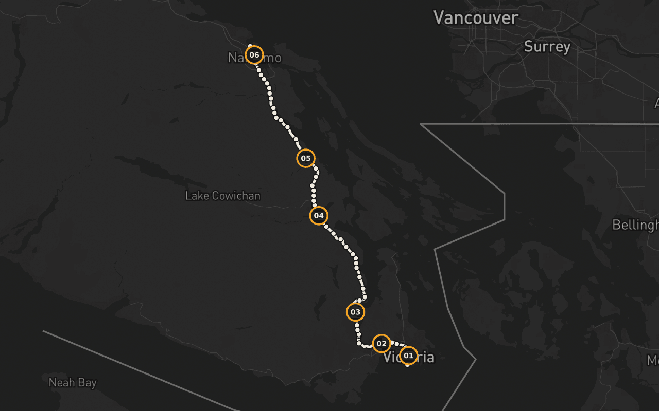
这是帮助你判断路线是否适合行程的路线地图,并非逐向导航。Camena 会沿已发布的路线播放故事。
6 / 66 个地点
带着地方感的故事。
Terry Fox:未竟的马拉松
零英里附近,Terry Fox 以奔跑的姿态铸成铜像,希望马拉松的终点线,最终由这尊铜像抵达,而不是那位跑者本人。
Malahat 是什么?
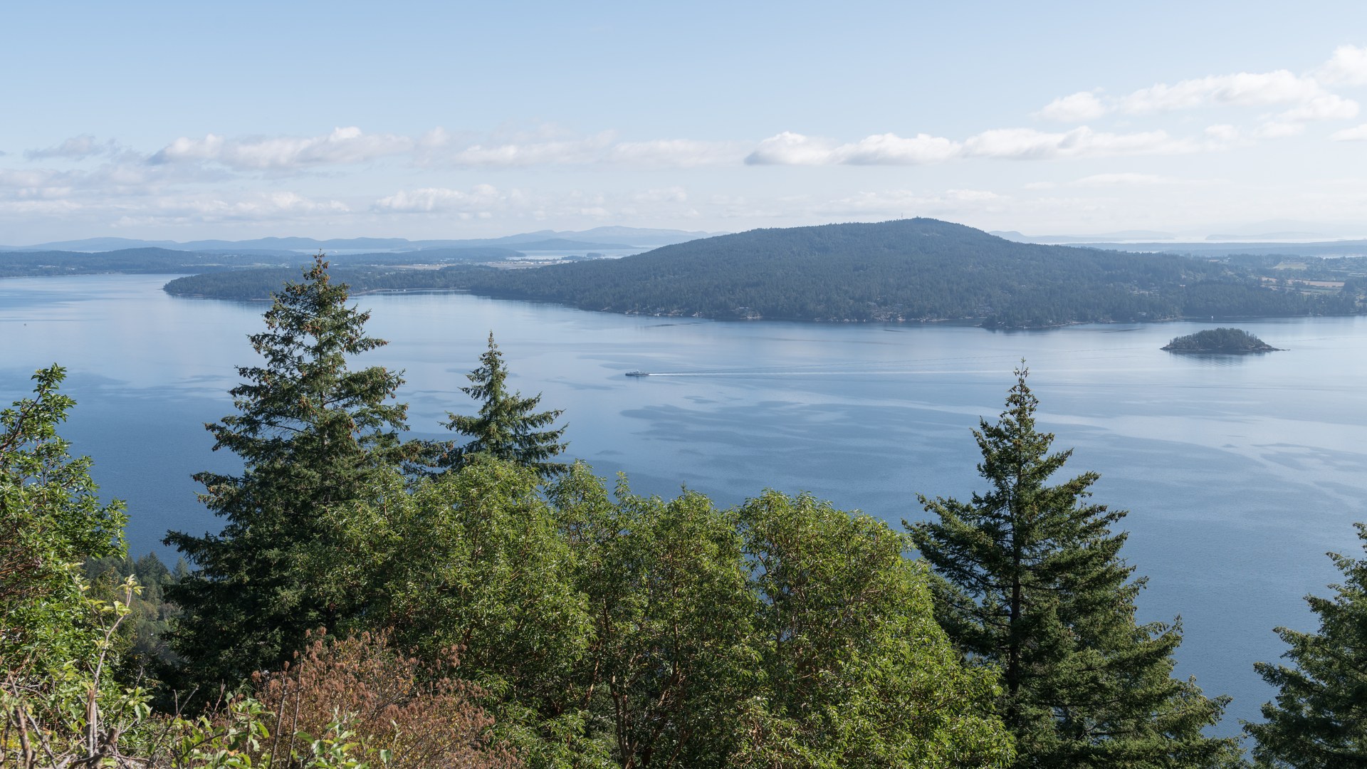
读懂马拉哈特:25公里的横加公路贴着 Saanich Inlet 的山坡一路爬升,以及本地人为什么谈起它来,像别人谈天气一样。
一条像黑海一样的峡湾
一条冰川刻出的峡湾,最深处达226米,湾口一道岩槛卡住了深层水的进出,这是整片海岸最奇特的水体之一。
图腾之城
Cowichan Tribes 是不列颠哥伦比亚省人数最多的单一原住民部族,超过4,900名成员,这是当下的事实,不是历史。
那座说到做到的小镇
彻梅纳斯失去了当初赖以立镇的锯木厂经济,它没有悄悄消失,而是把整个镇中心画满了壁画。
Swy-a-Lana 与 Saysutshun
抵达“港口之城”:Maffeo Sutton Park 的海滨步道、与潮汐相通的 Swy-a-Lana 潟湖,以及就在近海的 Saysutshun 岛。
适合人群 · 终点 · 离线
先讲实用,再说风景。
适合谁
全程可驾车完成,旁白通过车载音响播放,无需在任何地点停车。马拉哈特山顶一段是唯一受天气影响较大的路段;冬季出发前请先查看 DriveBC。
在哪里结束
终点在纳奈莫的启程湾渡轮码头,从这里可以搭渡轮前往海峡对岸的大陆,也可以继续北上。
离线
出发前下载导览。即使经过无信号区域或旅行时不使用漫游,音频、路线和地点详情仍可使用。实时街道地图图像不属于此离线承诺的一部分。
Vancouver Island · 驾车 · 14.99 美元 · 一次性购买
带上这条路线出发。
下载 Camena,在导览起点打开,故事会在路上找到你。
还有 3 条路线
其他路线