De carro · 2 h 10 min · 117 km · 66 paradas
Victoria–Nanaimo: a Transcanadense
Um passeio autoguiado de carro pelos primeiros 110 quilômetros da rodovia Transcanadense, da Milha 0 até a balsa de Departure Bay, pelo Malahat, pela terra quente do vale de Cowichan e por cidades de serraria que sobreviveram às próprias serrarias. Cada lugar nesta estrada foi construído por um motivo que já não existe; a narração costura todos eles em uma história só enquanto você dirige, de mãos livres, disparada por GPS.
US$ 14,99 Compra única App grátis · este tour é desbloqueado no app Sua loja mostra o preço local antes da compra
Direção
Duas direções · uma única compra
Início
Monumento da Milha 0 (Beacon Hill Park)
Comece perto do marco da Milha 0, na esquina da Douglas Street com a Dallas Road, o passeio narra do seu carro assim que você sai.
Duração
2 h 10 min
Cerca de 2 horas de estrada sem paradas; com elas, um meio dia tranquilo.
Narração
79 min de áudio · 8 idiomas
English · Français · 中文 · 한국어 · Português · Deutsch · Español · 日本語
Offline
Funciona offline
O áudio, a rota e os detalhes das paradas são baixados com o tour.
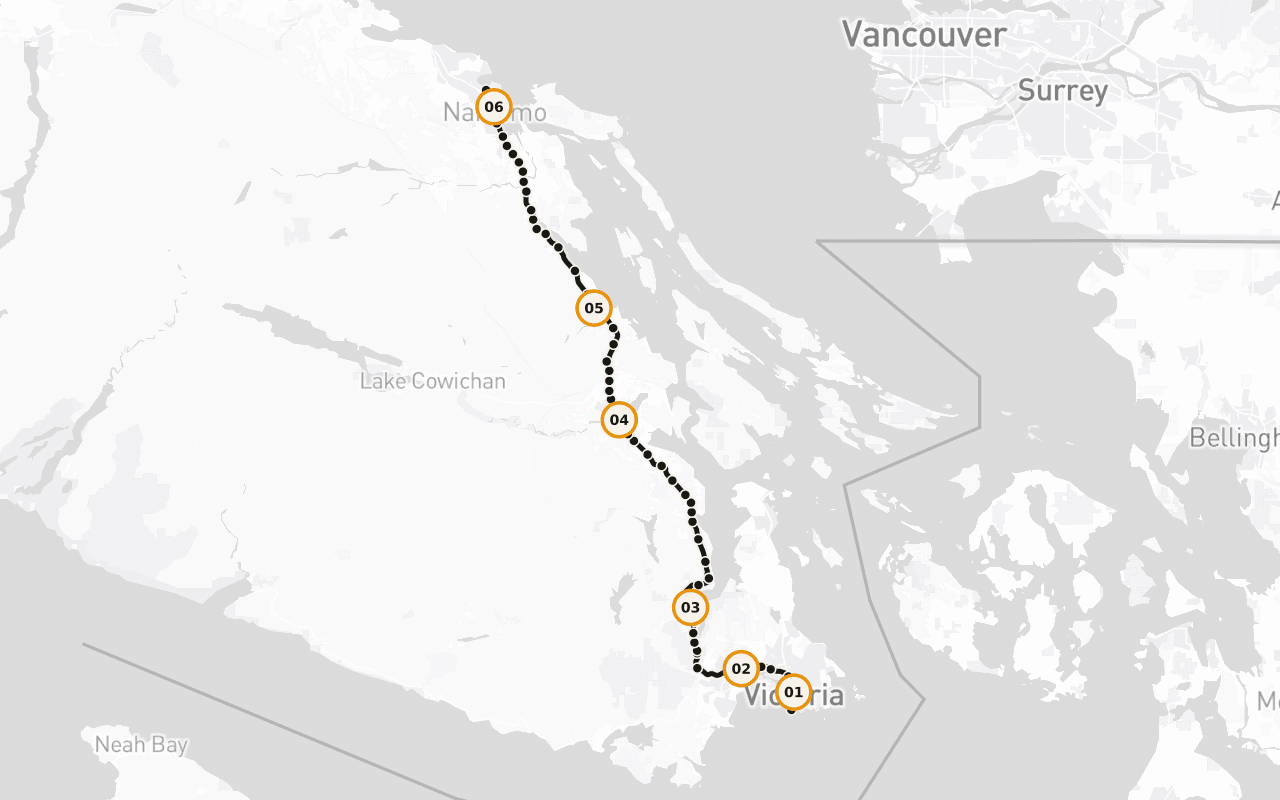
Rota · 117 km · 66 paradas · De carro
Entenda o percurso do dia.
Ler a transcrição da amostra em inglês
Behind you, at the corner of Douglas Street and Dallas Road, in Beacon Hill Park, there's a marker at the edge of the water that says Mile 0. That's the western end of the Trans-Canada Highway. From that curb, the road runs roughly eight thousand kilometres, across this island, across a strait, across mountains and prairie and shield and forest, all the way to the far side of the country. Every kilometre of the longest highway in Canada is measured from a spot you could throw a stone into the ocean from. We're going to drive the first hundred and ten of them, and I'll tell you now, those first hundred and ten are strange and good. You'll pass a working ferry terminal and a summit where the whole inland sea opens up beneath you. You'll go through a valley that grows wine grapes because the summers are genuinely hot, past a town that painted its entire downtown when the sawmill closed rather than quietly disappear, past a marsh where a thousand trumpeter swans spend the winter, and into a harbour city that came into being because of a single load of black rock. The places along this stretch have one thing in common that only shows up when you string them together: each of them was built for a reason that no longer exists. The coal ran out. The mill shut. The rail line stopped. And every one of them is still here, doing something else, which is a harder and more interesting story than the one about how they started. This is also Coast Salish territory, all hundred and ten kilometres of it, and there are nations along this road who have been here for thousands of years and are here now, running fisheries, forestry, hotels, treaty negotiations. Their story isn't a preamble to this highway. It's the spine of it. The route continues straight ahead from here. Give me the next two hours and I'll show you the whole thing.
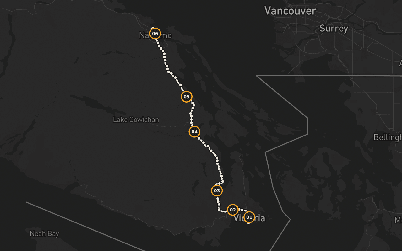
Mapa da rota para avaliar se ela combina com seus planos. Não é navegação passo a passo; a Camena guia a reprodução das histórias ao longo da rota publicada.
6 de 66 paradas
Histórias com identidade local.
Terry Fox: a maratona inacabada
Terry Fox em bronze, a meio passo, perto da Milha 0, a linha de chegada da Maratona da Esperança, alcançada pela estátua e não pelo corredor.
O que é o Malahat?
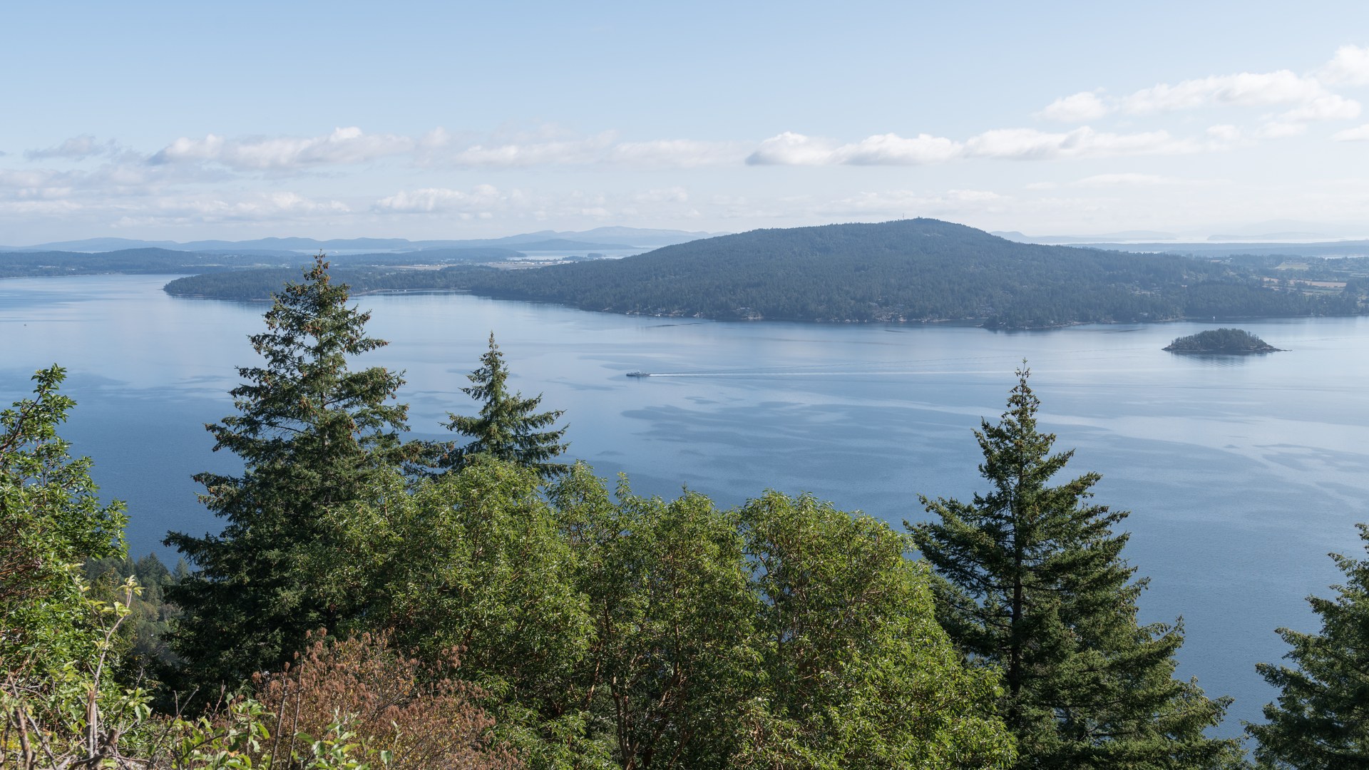
O Malahat, explicado: vinte e cinco quilômetros da Highway 1 subindo a encosta do Saanich Inlet, e por que os moradores falam dele como outras pessoas falam do tempo.
Um fiorde como o mar Negro
Um fiorde escavado por geleiras, com até 226 metros de profundidade e uma soleira de rocha na boca que estrangula as águas profundas, um dos corpos d'água mais estranhos da costa.
A cidade dos totens
As Cowichan Tribes, a maior banda indígena da Colúmbia Britânica, mais de 4.900 membros, um fato vivo e não histórico.
A cidadezinha que conseguiu
Chemainus perdeu a economia de serraria que a criou, e pintou o centro inteiro em vez de desaparecer em silêncio.
Swy-a-Lana e Saysutshun
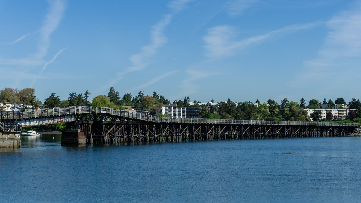
Chegada à Harbour City: o calçadão pelo Maffeo Sutton Park, a lagoa de maré Swy-a-Lana e Saysutshun logo ao largo.
Para quem · fim · offline
O prático antes do pitoresco.
Para quem é
Dá para fazer tudo de carro, a narração toca pelos alto-falantes do veículo e não exige nenhuma parada. O topo do Malahat é o único trecho exposto ao clima; consulte o DriveBC antes de sair no inverno.
Onde termina
Termina no terminal de balsas de Departure Bay, em Nanaimo, onde começa uma travessia para o continente, ou a estrada rumo ao norte.
Offline
Baixe o tour antes de sair. O áudio, a rota e os detalhes das paradas continuam disponíveis em áreas sem sinal e em viagens sem roaming. As imagens ao vivo do mapa de ruas não fazem parte desta promessa de uso offline.
Vancouver Island · De carro · US$ 14,99 · Compra única
Leve a rota com você.
Baixe a Camena, abra o tour no início e as histórias encontram você pelo caminho.
Mais 3 rotas
Outras rotas