ドライブ · 2時間10分 · 117km · 66か所
ビクトリア–ナナイモ:トランス・カナダ・ハイウェイ
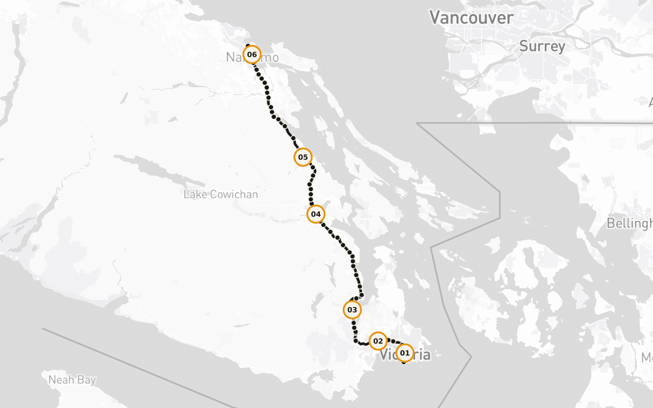
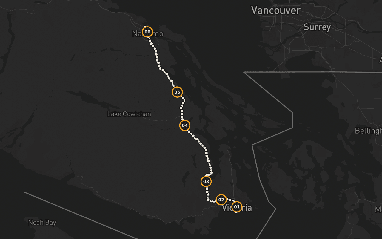
トランス・カナダ・ハイウェイの最初の110kmを走る、セルフガイド・ドライブツアーです。マイル0からデパーチャー・ベイのフェリー乗り場まで、マラハットを越え、カウチン・バレーの温暖な土地を抜け、製材所より長生きした町々を通ります。この道沿いの町はどこも、いまはもう存在しない理由のために造られました。ナレーションはGPSの現在地に合わせて自動で流れ、運転しながらそれらをひとつの物語につないでいきます。運転中もスマートフォンを操作する必要はありません。
US$14.99 買い切り 無料アプリ · このツアーはアプリ内で購入できます 購入前に、ストアがお住まいの地域の価格を表示します
方向
2方向 · 購入は1回
開始
マイル0記念碑(Beacon Hill Park)
Douglas StreetとDallas Roadが交わるマイル0記念碑の近くがスタート地点です。走り出すと、車内にナレーションが流れはじめます。
時間
2時間10分
途中で停まらなければ運転は約2時間。立ち寄りながらなら、ゆったり半日です。
ナレーション
音声 79分 · 8言語
English · Français · 中文 · 한국어 · Português · Deutsch · Español · 日本語
オフライン
オフライン対応
音声、ルート、スポットの詳細はツアーと一緒にダウンロードされます。
ルート情報 · 117km · 66か所 · ドライブ
一日の流れを把握しましょう。
英語のサンプル文字起こしを読む
Behind you, at the corner of Douglas Street and Dallas Road, in Beacon Hill Park, there's a marker at the edge of the water that says Mile 0. That's the western end of the Trans-Canada Highway. From that curb, the road runs roughly eight thousand kilometres, across this island, across a strait, across mountains and prairie and shield and forest, all the way to the far side of the country. Every kilometre of the longest highway in Canada is measured from a spot you could throw a stone into the ocean from. We're going to drive the first hundred and ten of them, and I'll tell you now, those first hundred and ten are strange and good. You'll pass a working ferry terminal and a summit where the whole inland sea opens up beneath you. You'll go through a valley that grows wine grapes because the summers are genuinely hot, past a town that painted its entire downtown when the sawmill closed rather than quietly disappear, past a marsh where a thousand trumpeter swans spend the winter, and into a harbour city that came into being because of a single load of black rock. The places along this stretch have one thing in common that only shows up when you string them together: each of them was built for a reason that no longer exists. The coal ran out. The mill shut. The rail line stopped. And every one of them is still here, doing something else, which is a harder and more interesting story than the one about how they started. This is also Coast Salish territory, all hundred and ten kilometres of it, and there are nations along this road who have been here for thousands of years and are here now, running fisheries, forestry, hotels, treaty negotiations. Their story isn't a preamble to this highway. It's the spine of it. The route continues straight ahead from here. Give me the next two hours and I'll show you the whole thing.
ルートが予定に合うか確認するための地図です。ターンバイターンのナビゲーションではありません。Camenaは公開済みのルートに沿ってストーリーを再生します。
6/66か所
土地を感じるストーリー。
テリー・フォックス:終わらなかったマラソン
マイル0のそばに、走る姿のままブロンズになったTerry Fox。希望のマラソン(Marathon of Hope)のゴール地点に立っているのは、走者本人ではなく、その像です。
Malahatとは?
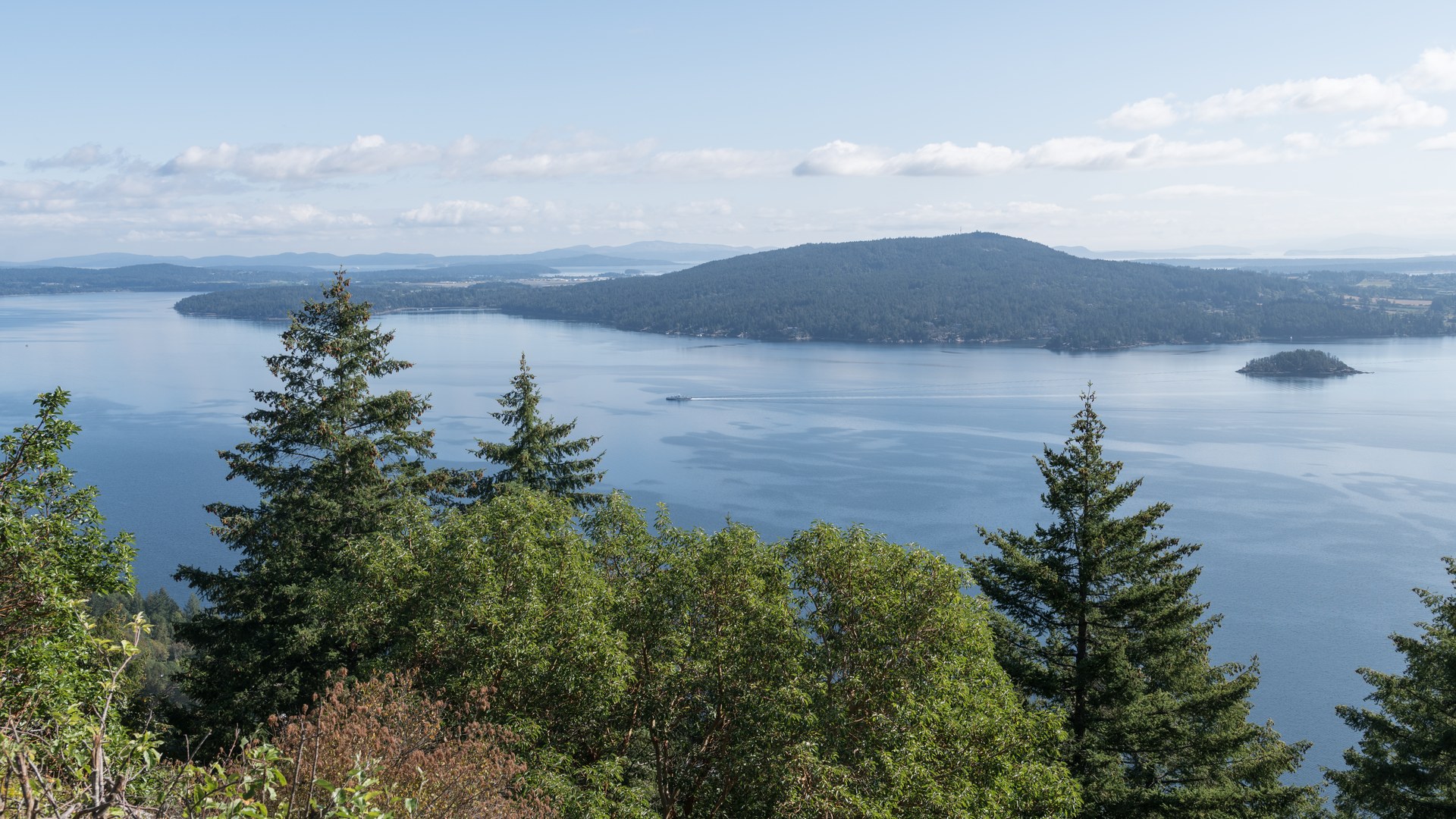
マラハットとは何か。Saanich Inletの斜面を登っていく、トランス・カナダ・ハイウェイの25kmの区間です。地元の人がこの道を、まるで天気の話をするように語る理由もお話しします。
黒海に似たフィヨルド
氷河が削った、深さ最大226mのフィヨルド。入口には岩の浅瀬(シル)があり、深層の水の出入りを大きく制限しています。この海岸でもっとも奇妙な水域のひとつです。
トーテムの街
Cowichan Tribesは、ブリティッシュ・コロンビア州で最大の単一ファーストネーション・バンドです。構成員は4,900人以上。過去の話ではなく、いまも続いている事実です。
やり遂げた小さな町
シェメイナスは、町を支えていた製材業を失いました。そして静かに消えていくかわりに、ダウンタウン全体を絵で埋めることを選びました。
Swy-a-LanaとSaysutshun
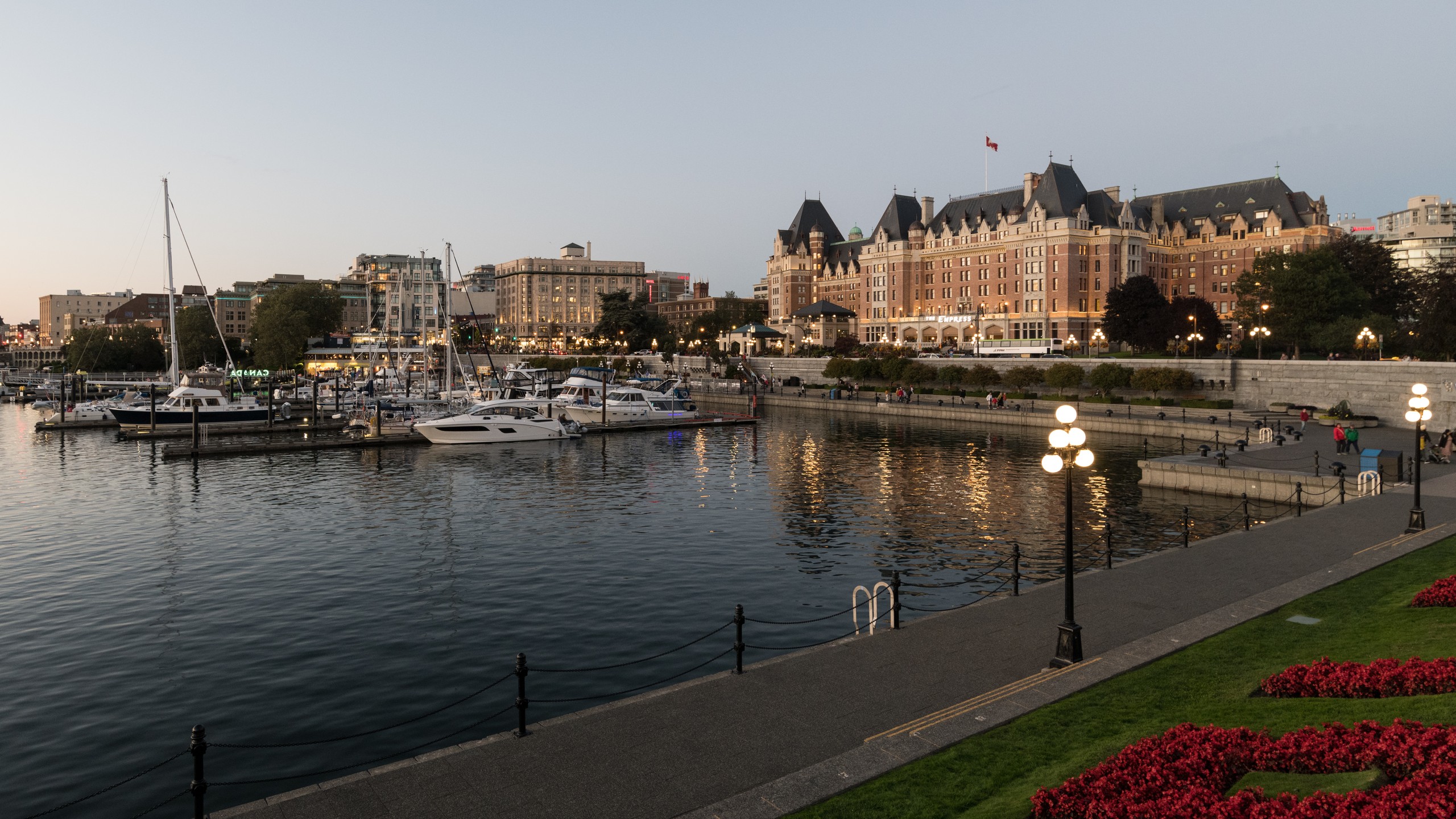
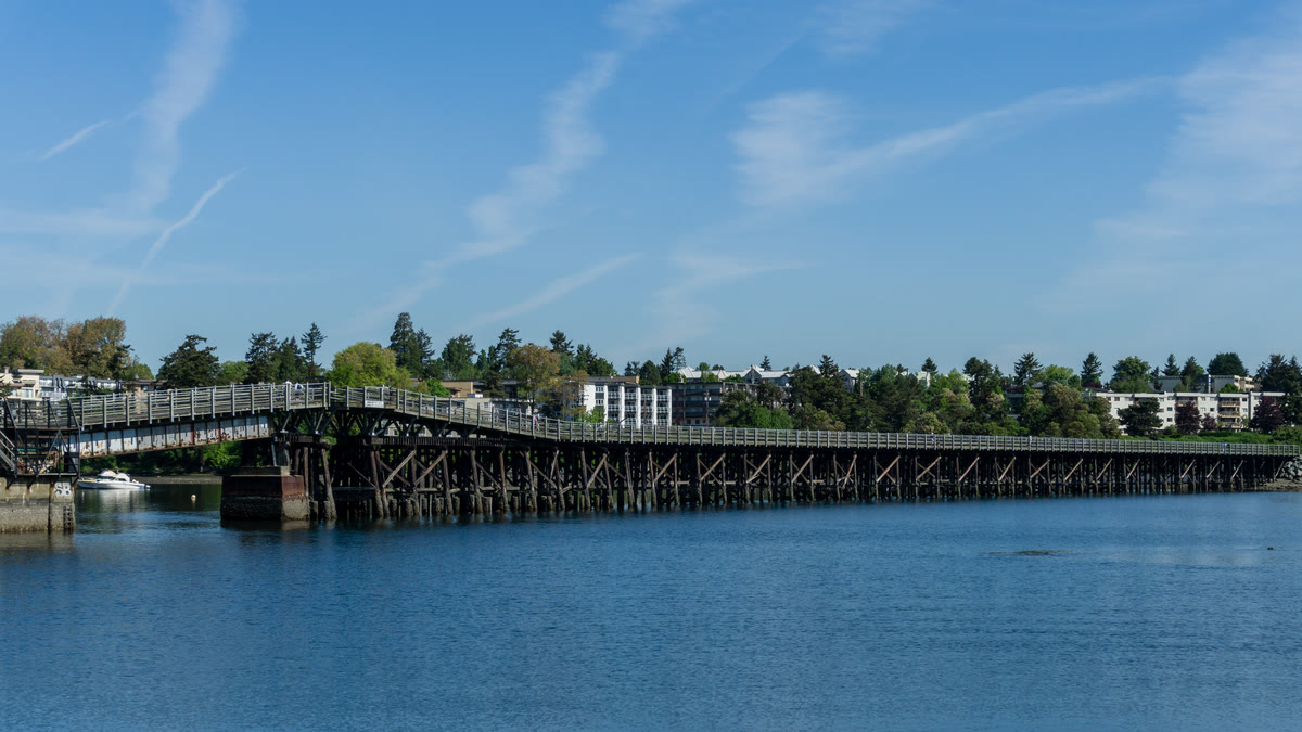
「ハーバー・シティ」と呼ばれるナナイモへの到着です。Maffeo Sutton Parkを抜けるシーウォール、潮の出入りするSwy-a-Lana Lagoon、そしてすぐ沖に浮かぶSaysutshun。
おすすめの方 · 終点 · オフライン
景色の前に実用性を。
おすすめの方
すべて車で完結します。ナレーションは車のスピーカーから流れ、必ず停まらなければならない場所はありません。天候の影響を受けやすいのは、マラハットの峠です。冬に出かける前には、DriveBCで道路状況をご確認ください。
終了地点
ナナイモのデパーチャー・ベイ・フェリーターミナルで終わります。ここからは、本土行きのフェリーに乗ることも、さらに北へ続く道を進むこともできます。
オフライン
出発前にツアーをダウンロードしてください。音声、ルート、スポットの詳細は、電波の届かない場所やローミングを使わない旅行中も利用できます。ライブの道路地図画像は、このオフライン機能には含まれません。
Vancouver Island · ドライブ · US$14.99 · 買い切り
ルートを持って出かけましょう。
Camenaをダウンロードしてツアーの開始地点で開くと、ストーリーが道中であなたを見つけてくれます。
あと3件のルート
ほかのルート